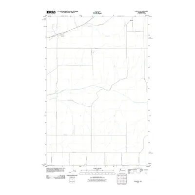
2011 Map of Lamona
USGS Topo · Published 2011About this map
Lamona and Downs anchor this 2011 survey of the Eastern Washington landscape, where the agricultural grid of Lincoln County meets the natural drainage of the Big Bend country. The path of Crab Creek winds through the center of the sheet, providing a vital riparian corridor in an area otherwise dominated by high-desert plateau farming. The drainage of Coal Creek in the north and the nearby Coal Coulee Rd E suggest the geologic and topographic breaks that define this region's terrain.
Find a feature on this map
28 named features on this map. Tap any name to fly to it.
Don’t see what you’re looking for? This feature index may not catch every label — zoom into the map to look around manually.
Map Details
Editions of this 2011 Lamona Map
This is the sole edition of this map. No revisions or reprints were ever made.
Other maps of this area

1953 · Ritzville
USGS Topo · 1:250,000

1959 · Ritzville
USGS Topo · 1:250,000

1965 · Ritzville
USGS Topo · 1:250,000

1967 · Schoonover
USGS Topo · 1:24,000

1967 · Ritzville NE
USGS Topo · 1:24,000

1967 · Ritzville NW
USGS Topo · 1:24,000

1968 · Sylvan Lake
USGS Topo · 1:24,000

1968 · Coffeepot Lake
USGS Topo · 1:24,000

1969 · Harrington
USGS Topo · 1:24,000

1969 · Cormana Lake
USGS Topo · 1:24,000