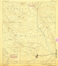
1887 Map of Lampasas
USGS Topo · Published 1887About this map
Lampasas serves as the primary hub of this Central Texas landscape, captured in the late 1880s as the Gulf Colorado and Santa Fe Railroad provided critical connectivity to the region. The map details a transition from the river-fed valleys of the Colorado River and its numerous tributaries like School Creek and Sulphur Creek to a more broken upland terrain marked by family-named landmarks and essential early commerce.
Find a feature on this map
49 named features on this map. Tap any name to fly to it.
Don’t see what you’re looking for? This feature index may not catch every label — zoom into the map to look around manually.
Map Details
Editions of this 1887 Lampasas Map
This is the sole edition of this map. No revisions or reprints were ever made.
Other maps of this area
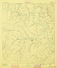
1885 · San Saba
USGS Topo · 1:125,000
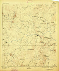
1887 · Llano
USGS Topo · 1:125,000

1887 · Burnet
USGS Topo · 1:125,000
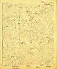
1888 · Hamilton
USGS Topo · 1:125,000
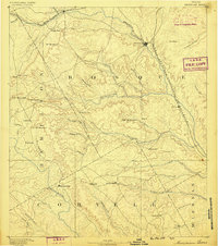
1888 · Meridian
USGS Topo · 1:125,000
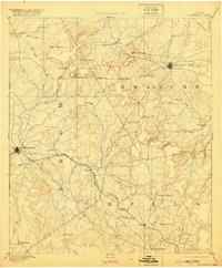
1889 · Brownwood
USGS Topo · 1:125,000

1893 · Georgetown
USGS Topo · 1:125,000

1893 · Burnet
USGS Topo · 1:125,000
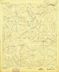
1894 · Hamilton
USGS Topo · 1:125,000
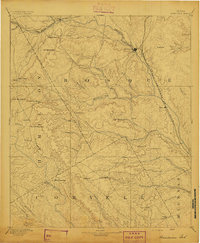
1894 · Meridian
USGS Topo · 1:125,000