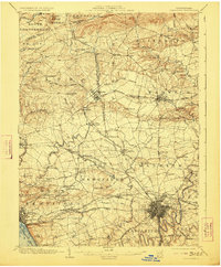
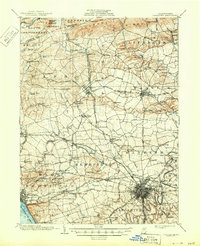
1904 Map of Lancaster
USGS Topo · Published 1923About this map
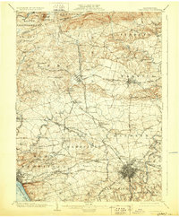
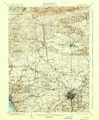
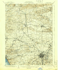
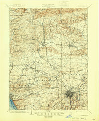
Lancaster anchors the southeastern corner of this 1902 survey, appearing as a dense grid of streets just before the city’s major twentieth-century expansion. The landscape is defined by an intricate network of turnpikes and early electric railways, reflecting a transitional era where traditional overland routes like the Lancaster and Reading Turnpike operated alongside the emerging Lancaster Electric R. R. and the New Holland Electric R. R. To the north, the terrain rises toward South Mountain and Governor Dick, marking the edge of the productive Pennsylvania Dutch farm country. Industrial traces are evident in the northern reaches near Mount Hope and the Cornwall R. R., while the southern boundary is shaped by the wide Susquehanna River. Numerous smaller settlements such as Lititz, Manheim, and Brickerville are captured with their early twentieth-century footprints, connected by watercourses like Hammer Creek and Little Chickies Creek.
Find a feature on this map
111 named features on this map. Tap any name to fly to it.
Don’t see what you’re looking for? This feature index may not catch every label — zoom into the map to look around manually.
Map Details
Editions of this 1904 Lancaster Map
10 editions found
Other maps of this area

1891 · Lebanon
USGS Topo · 1:62,500

1892 · Hummelstown
USGS Topo · 1:62,500

1893 · Lebanon
USGS Topo · 1:62,500

1899 · Lebanon
USGS Topo · 1:62,500

1902 · Wernersville
USGS Topo · 1:62,500

1902 · Lancaster
USGS Topo · 1:62,500

1904 · Lancaster
USGS Topo · 1:62,500

1906 · New Holland
USGS Topo · 1:62,500

1908 · Middletown
USGS Topo · 1:62,500

1908 · New Holland
USGS Topo · 1:62,500
Featured Places
- Lancaster, PA
- West Lampeter Township, PA
- Lititz, PA
- Willow Street, West Lampeter Township
- Millersville, PA