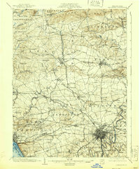
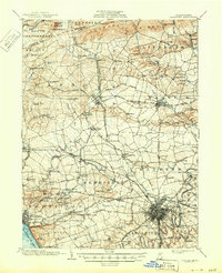
1904 Map of Lancaster
USGS Topo · Published 1939About this map
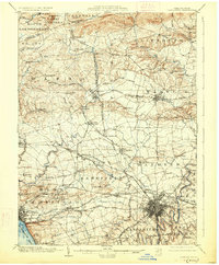
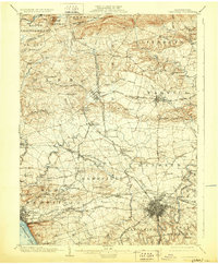
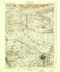
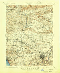
Lancaster and its surrounding townships thrive amidst an intricate web of turnpikes and rail lines during the first years of the twentieth century. This survey documents the transition from a traditional agrarian economy toward modern industrial connectivity, with the city serving as a hub for numerous electric and steam rail systems, including the Pennsylvania RR and the Lancaster and New Holland Electric RR. The rural landscape is defined by traditional crossroads communities like Brickerville, Manheim, and East Petersburg, alongside industrial landmarks such as the Cornwall Furnace and local features like Gevers Mill.
Find a feature on this map
115 named features on this map. Tap any name to fly to it.
Don’t see what you’re looking for? This feature index may not catch every label — zoom into the map to look around manually.
Map Details
Editions of this 1904 Lancaster Map
10 editions found
Other maps of this area

1891 · Lebanon
USGS Topo · 1:62,500

1892 · Hummelstown
USGS Topo · 1:62,500

1893 · Lebanon
USGS Topo · 1:62,500

1899 · Lebanon
USGS Topo · 1:62,500

1902 · Wernersville
USGS Topo · 1:62,500

1902 · Lancaster
USGS Topo · 1:62,500

1904 · Lancaster
USGS Topo · 1:62,500

1906 · New Holland
USGS Topo · 1:62,500

1908 · Middletown
USGS Topo · 1:62,500

1908 · New Holland
USGS Topo · 1:62,500
Featured Places
- Lancaster, PA
- West Lampeter Township, PA
- Lititz, PA
- Willow Street, West Lampeter Township
- Millersville, PA