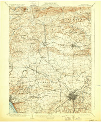
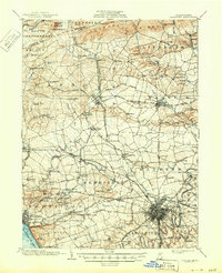
1904 Map of Lancaster
USGS Topo · Published 1929About this map
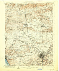
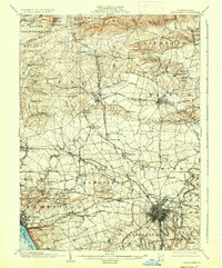
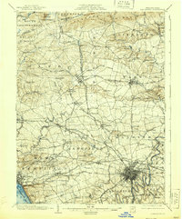
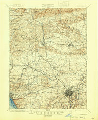
Manheim and Lititz anchor a landscape defined by an extensive network of 19th-century turnpikes and rail lines in this early 20th-century survey. The region's transition from agricultural hubs to industrial nodes is evident in the convergence of the Reading and Columbia RR and the Cornwall and Lebanon RR. In the south, the Susquehanna River frames the border near Chestnut Hill, while the interior is densely settled with names like Mount Hope, Mastersonville, and Brickerville. Local utility infrastructure of the era is marked by the Waterworks near the Conestoga River, while numerous small milling operations like Geyers Mill appear along the tributary creeks. The map provides a remarkable view of the dense settlement patterns of the Pennsylvania Dutch Country before modern highway expansion, preserving the original routes of the Lancaster and Lititz Turnpike and the Philadelphia and Lancaster Turnpike.
Find a feature on this map
109 named features on this map. Tap any name to fly to it.
Don’t see what you’re looking for? This feature index may not catch every label — zoom into the map to look around manually.
Map Details
Editions of this 1904 Lancaster Map
10 editions found
Other maps of this area

1891 · Lebanon
USGS Topo · 1:62,500

1892 · Hummelstown
USGS Topo · 1:62,500

1893 · Lebanon
USGS Topo · 1:62,500

1899 · Lebanon
USGS Topo · 1:62,500

1902 · Wernersville
USGS Topo · 1:62,500

1902 · Lancaster
USGS Topo · 1:62,500

1904 · Lancaster
USGS Topo · 1:62,500

1906 · New Holland
USGS Topo · 1:62,500

1908 · Middletown
USGS Topo · 1:62,500

1908 · New Holland
USGS Topo · 1:62,500
Featured Places
- Lancaster, PA
- West Lampeter Township, PA
- Lititz, PA
- Willow Street, West Lampeter Township
- Millersville, PA