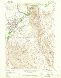
1960 Map of Lander
USGS Topo · Published 1961About this map
Lander serves as the focal point of this 1960 survey, situated where the Middle Popo Agie River meets the valley floor. The map captures a high-desert landscape defined by a sophisticated network of irrigation systems like the North Fork Ditch, Sioux Ditch, and Smith Ditch, which supported the region's agricultural development. Along the Chicago and Northwestern rail line, the presence of the Lander Hudson Oil Field and scattered Gravel Pits reflects the area's mid-century industrial base. Local heritage is deeply rooted here, evidenced by the site of Ft McGraw and the Wind River Indian Reservation boundary to the north. From the institutional grounds of the State Training Sch to the remote Table Mountain Community Hall, the map details a community balanced between its municipal center and the surrounding rugged features of Blue Ridge and Table Mountain.
Find a feature on this map
53 named features on this map. Tap any name to fly to it.
Don’t see what you’re looking for? This feature index may not catch every label — zoom into the map to look around manually.
Map Details
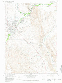
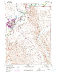
Editions of this 1960 Lander Map
3 editions found
Other maps of this area

1952 · Hudson
USGS Topo · 1:24,000

1952 · Ray Lake
USGS Topo · 1:24,000

1952 · Lander SE
USGS Topo · 1:24,000

1952 · Lander
USGS Topo · 1:24,000

1952 · Lander NW
USGS Topo · 1:24,000

1953 · Fossil Hill
USGS Topo · 1:24,000

1953 · Weiser Pass
USGS Topo · 1:24,000

1953 · Mount Arter SE
USGS Topo · 1:24,000

1954 · Wolf Point
USGS Topo · 1:24,000

1955 · Lander
USGS Topo · 1:250,000