
1957 Map of Lane NE
USGS Topo · Published 1958About this map
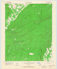
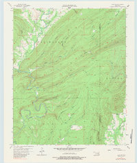
The Stringtown, Kosoma, and Farris districts overlap in this landscape defined by the rugged drainage basins of the Ouachita Mountains. The central feature is the winding course of McGee Creek, which carves through the terrain alongside numerous steep-walled tributaries like Wildcat Canyon and Bugaboo Canyon. These natural corridors dictate the early settlement patterns, where small homesteads and essential community structures are tucked into the valley floors. Evidence of rural life is sparse but significant, including a lone Cem and the Impson Ch (Abandoned) located within the Impson Valley. Industrial activity is hinted at by the presence of Oil Tanks near Randolph Creek, while a Gaging Station on Greasy Cr monitors the vital water flow through this deeply dissected region on the border of Atoka and Pushmataha counties.
Find a feature on this map
32 named features on this map. Tap any name to fly to it.
Don’t see what you’re looking for? This feature index may not catch every label — zoom into the map to look around manually.
Map Details
Editions of this 1957 Lane NE Map
3 editions found
Other maps of this area

1898 · McAlester
USGS Topo · 1:125,000

1901 · Antlers
USGS Topo · 1:125,000

1909 · Mc Alester
USGS Topo · 1:125,000

1912 · Antlers
USGS Topo · 1:125,000

1925 · Antlers
USGS Topo · 1:125,000

1950 · Mcalester
USGS Topo · 1:250,000

1957 · Lane NW
USGS Topo · 1:24,000

1957 · Farris
USGS Topo · 1:24,000

1957 · Moyers
USGS Topo · 1:24,000

1957 · Jumbo
USGS Topo · 1:24,000