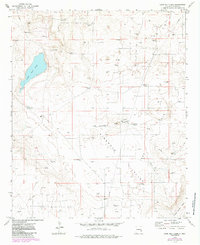
1973 Map of Lane Salt Lake
USGS Topo · Published 1985About this map
Lane Salt Lake dominates the northwest corner of this New Mexico landscape, a stark basin set within a territory defined by the cattle and oil industries. The map documents an environment where survival depended on water infrastructure, evidenced by the numerous named windmills including McBride Windmill, Antelope Windmill, and Bull Windmill. These markers, along with the Lane Ranch and McGuffin Ranch, trace the reach of mid-century ranching across the Simanola Valley.
Find a feature on this map
28 named features on this map. Tap any name to fly to it.
Don’t see what you’re looking for? This feature index may not catch every label — zoom into the map to look around manually.
Map Details
Editions of this 1973 Lane Salt Lake Map
2 editions found
Other maps of this area

1954 · Brownfield
USGS Topo · 1:250,000

1958 · Brownfield
USGS Topo · 1:250,000

1961 · Johnson Ranch
USGS Topo · 1:24,000

1962 · Brownfield
USGS Topo · 1:250,000

1970 · Johnson Ranch
USGS Topo · 1:24,000

1970 · Simanola Valley
USGS Topo · 1:24,000

1972 · Milnesand SW
USGS Topo · 1:24,000

1973 · Soldier Hill
USGS Topo · 1:24,000

1973 · Caprock
USGS Topo · 1:24,000
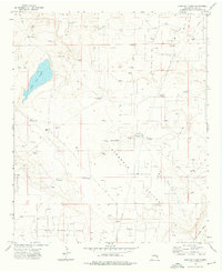
1973 · Lane Salt Lake
USGS Topo · 1:24,000