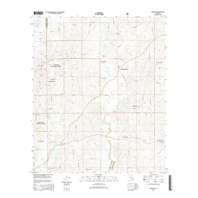
2015 Map of Langston
USGS Topo · Published 2015About this map
Kisatchie National Forest lands dominate the western portion of this Webster Parish landscape, where the terrain is bisected by the meandering Black Lake Bayou. Small, established communities like Germantown and Holly Springs are connected by a network of rural roads, many of which carry family names that provide a window into the area's social history. The map's southern edge is defined by the Webster Parish and Claiborne Parish boundary, showing the physical division between these jurisdictions as it crosses Kemp Rd and Harris Rd.
Find a feature on this map
51 named features on this map. Tap any name to fly to it.
Don’t see what you’re looking for? This feature index may not catch every label — zoom into the map to look around manually.
Map Details
Editions of this 2015 Langston Map
This is the sole edition of this map. No revisions or reprints were ever made.
Other maps of this area

1922 · Sarepta
USGS Topo · 1:62,500

1924 · Sarepta
USGS Topo · 1:62,500

1947 · Minden
USGS Topo · 1:62,500

1949 · Minden
USGS Topo · 1:62,500

1949 · Gibsland
USGS Topo · 1:62,500

1950 · Gibsland
USGS Topo · 1:62,500

1952 · Homer
USGS Topo · 1:62,500

1955 · Shreveport
USGS Topo · 1:250,000

1956 · Shreveport
USGS Topo · 1:250,000

1956 · Sarepta
USGS Topo · 1:62,500