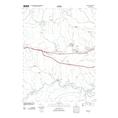
2010 Map of Lansing
USGS Topo · Published 2010About this map
Wheeling Creek and McMahon Creek carve through the eastern Ohio landscape, defining the layout of numerous coal-era settlements and hillside communities. The corridor along Interstate 70 is densely packed with residential pockets like Wolfhurst, Lansing, and Blaine, while the Ohio Valley Mall represents a modern commercial shift. Local history is deeply rooted in the many family and community burial grounds, such as Weeks Cemetery and Alexander Cemetery, which are scattered throughout the ridgelines.
Find a feature on this map
115 named features on this map. Tap any name to fly to it.
Don’t see what you’re looking for? This feature index may not catch every label — zoom into the map to look around manually.
Map Details
Editions of this 2010 Lansing Map
This is the sole edition of this map. No revisions or reprints were ever made.
Other maps of this area

1902 · Wheeling
USGS Topo · 1:62,500

1904 · Cameron
USGS Topo · 1:62,500

1905 · Clarington
USGS Topo · 1:62,500

1905 · St. Clairsville
USGS Topo · 1:62,500

1935 · Cameron
USGS Topo · 1:62,500

1935 · Clarington
USGS Topo · 1:62,500

1935 · Wheeling
USGS Topo · 1:62,500

1940 · Clarington
USGS Topo · 1:62,500

1942 · Cameron
USGS Topo · 1:62,500

1942 · Wheeling
USGS Topo · 1:62,500