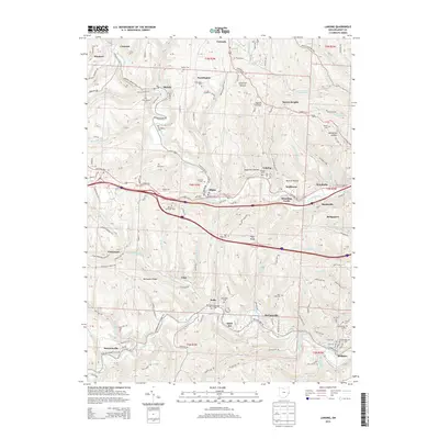
2013 Map of Lansing
USGS Topo · Published 2013About this map
Wheeling Creek and McMahon Creek carve through the hills of Belmont County, defining a landscape of coal-era settlements and hollows. This survey of the region west of the Ohio River shows the dense network of small communities such as Lansing, Wolfhurst, and Blaine clustered along National Rd E. The map records a high concentration of small burial grounds and landmarks essential for genealogical research, including the Hardesty Cem, Linwood Cem, and the Methodist Ridge Ch.
Find a feature on this map
140 named features on this map. Tap any name to fly to it.
Don’t see what you’re looking for? This feature index may not catch every label — zoom into the map to look around manually.
Map Details
Editions of this 2013 Lansing Map
This is the sole edition of this map. No revisions or reprints were ever made.
Other maps of this area

1902 · Wheeling
USGS Topo · 1:62,500

1904 · Cameron
USGS Topo · 1:62,500

1905 · Clarington
USGS Topo · 1:62,500

1905 · St. Clairsville
USGS Topo · 1:62,500

1935 · Cameron
USGS Topo · 1:62,500

1935 · Clarington
USGS Topo · 1:62,500

1935 · Wheeling
USGS Topo · 1:62,500

1940 · Clarington
USGS Topo · 1:62,500

1942 · Cameron
USGS Topo · 1:62,500

1942 · Wheeling
USGS Topo · 1:62,500