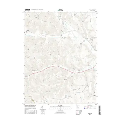
2016 Map of Latham
USGS Topo · Published 2016About this map
Sunfish Creek carves a central path through this section of the Appalachian Plateau, where narrow valleys and steep ridges dictate the settlement patterns of southern Ohio. Small communities such as Latham, Idaho, and Elm Grove follow the watercourses, connected by crossings like Wilson Bridge and Red Bridge. The map reveals a dense distribution of family and community burial grounds, including the Clayton Number 1 and Clayton Number 2 cemeteries, which reflect the deep-rooted genealogical history of the area.
Find a feature on this map
96 named features on this map. Tap any name to fly to it.
Don’t see what you’re looking for? This feature index may not catch every label — zoom into the map to look around manually.
Map Details
Editions of this 2016 Latham Map
This is the sole edition of this map. No revisions or reprints were ever made.
Other maps of this area

1915 · Bainbridge
USGS Topo · 1:48,000

1915 · Otway
USGS Topo · 1:62,500

1915 · Piketon
USGS Topo · 1:62,500

1916 · Peebles
USGS Topo · 1:62,500

1917 · Bainbridge
USGS Topo · 1:62,500

1917 · Piketon
USGS Topo · 1:62,500

1917 · Otway
USGS Topo · 1:62,500

1918 · Peebles
USGS Topo · 1:62,500

1944 · Piketon
USGS Topo · 1:62,500

1947 · Columbus
USGS Topo · 1:250,000