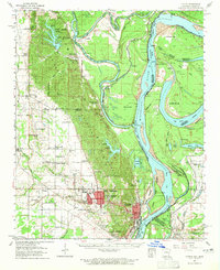
1961 Map of Latour
USGS Topo · Published 1965About this map
Helena and West Helena dominate the southern portion of this Mississippi River delta landscape, where the St Francis National Forest blankets the rising ground of Crowley's Ridge. The mapping highlights the complex hydrologic history of the region, specifically along the Mississippi River where the Hardin Cut-off altered the state boundary between Arkansas and Mississippi. Smaller agricultural settlements like Jeffersonville, LaGrange, and Lexa are connected by the Missouri Pacific railroad lines, which served the area's timber and cotton economies. The map is particularly rich in genealogical landmarks, documenting numerous rural congregations such as Mt Pleasant Ch, New Zion Ch, and Morning Star Ch, alongside local education sites like the Helena-West Helena Central High Sch and the Rollingwall Sch. Aerial surveys from 1960 and planetable work provide a precise record of the river's bends and bars, including Bordeaux Point and Shoo Fly Bar.
Find a feature on this map
81 named features on this map. Tap any name to fly to it.
Don’t see what you’re looking for? This feature index may not catch every label — zoom into the map to look around manually.
Map Details
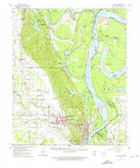
Editions of this 1961 Latour Map
2 editions found
Other maps of this area

1908 · Lula
USGS Topo · 1:24,000

1908 · Dundee
USGS Topo · 1:24,000

1908 · Moon Lake
USGS Topo · 1:24,000

1910 · Dundee
USGS Topo · 1:31,680

1912 · Moon Lake
USGS Topo · 1:31,680

1912 · Lula
USGS Topo · 1:31,680

1931 · Horseshoe Lake
USGS Topo · 1:62,500

1932 · Marks
USGS Topo · 1:48,000

1935 · Marks
USGS Topo · 1:62,500

1939 · Clayton
USGS Topo · 1:62,500