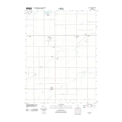
2010 Map of Latty
USGS Topo · Published 2010About this map
Latty and Haviland anchor this rural landscape in Paulding County, where the geometric grid of agricultural roads is interrupted by a series of winding watercourses. Significant local infrastructure is centered around the Paulding Upground Reservoir and the Paulding Upground Reservoir Dam in the north, providing a modern contrast to the small, older settlements like Broughton, Hedges, and Dague. Genealogists will find several burial grounds across the township, including Pleasant View Cemetery, Apostolic Cemetery, and the Blue Creek Cemetery. The drainage of the land is defined by a network of creeks and runs, such as Prairie Creek, Blue Creek, and Hagerman Creek, which cross beneath the townships' many numbered routes. The presence of the Latty Post Office and Haviland Post Office highlights the ongoing importance of these villages as centers of local identity.
Find a feature on this map
54 named features on this map. Tap any name to fly to it.
Don’t see what you’re looking for? This feature index may not catch every label — zoom into the map to look around manually.
Map Details
Editions of this 2010 Latty Map
This is the sole edition of this map. No revisions or reprints were ever made.
Other maps of this area

1909 · Continental
USGS Topo · 1:62,500

1911 · Delphos
USGS Topo · 1:62,500

1914 · Van Wert
USGS Topo · 1:62,500

1914 · Paulding
USGS Topo · 1:62,500

1944 · Delphos
USGS Topo · 1:62,500

1944 · Van Wert
USGS Topo · 1:62,500

1944 · Paulding
USGS Topo · 1:62,500

1953 · Fort Wayne
USGS Topo · 1:250,000

1953 · Muncie
USGS Topo · 1:250,000

1956 · Muncie
USGS Topo · 1:250,000