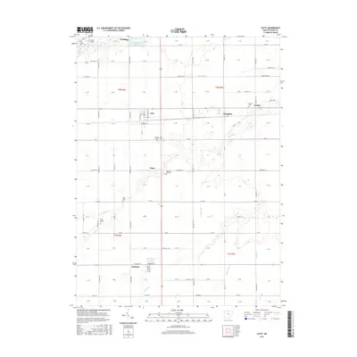
2016 Map of Latty
USGS Topo · Published 2016About this map
The village of Latty sits at a geographic crossroads in Paulding County, anchoring a landscape shaped by a grid of agricultural townships and winding prairie waterways. Just to the north, the Paulding Upground Reservoir stands as a prominent engineered feature near Paulding, while the surrounding terrain is defined by the drainage of Blue Cr, Prairie Cr, and Flatrock Cr. This area maintains a quiet, rural character where small settlements like Broughton, Haviland, and Hedges are connected by a network of township roads and historical land divisions.
Find a feature on this map
85 named features on this map. Tap any name to fly to it.
Don’t see what you’re looking for? This feature index may not catch every label — zoom into the map to look around manually.
Map Details
Editions of this 2016 Latty Map
This is the sole edition of this map. No revisions or reprints were ever made.
Other maps of this area

1909 · Continental
USGS Topo · 1:62,500

1911 · Delphos
USGS Topo · 1:62,500

1914 · Van Wert
USGS Topo · 1:62,500

1914 · Paulding
USGS Topo · 1:62,500

1944 · Delphos
USGS Topo · 1:62,500

1944 · Van Wert
USGS Topo · 1:62,500

1944 · Paulding
USGS Topo · 1:62,500

1953 · Fort Wayne
USGS Topo · 1:250,000

1953 · Muncie
USGS Topo · 1:250,000

1956 · Muncie
USGS Topo · 1:250,000