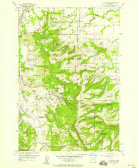
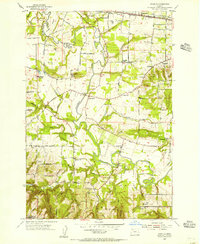
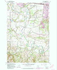
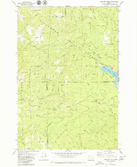
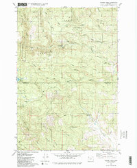
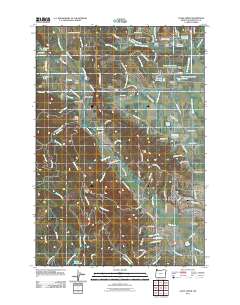
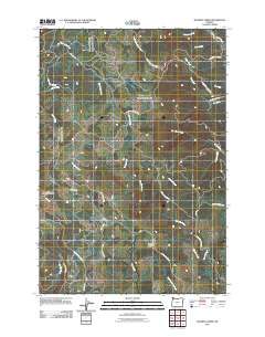
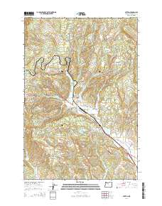
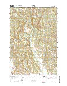
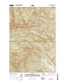
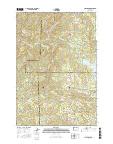
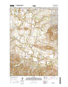
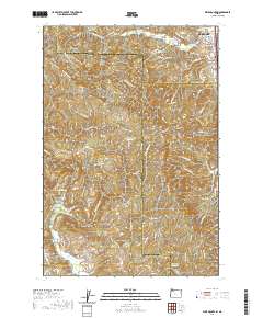
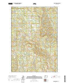
1956 Map of Laurelwood
USGS Topo · Published 1958About this map
The Tualatin River valley in the mid-1950s reveals a landscape defined by small farming communities and educational institutions. Laurelwood serves as a focal point with the campus of the Laurelwood Academy, while the surrounding hills are dotted with local landmarks like Spring Hill School, Iowa Hill Sch, and Lake View Sch. The mapping shows the early transition of rural lands, including the Forest Hills Golf Course and the recreational high ground of Bald Peak State Park along the southern ridge.
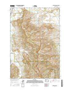
Find a feature on this map
51 named features on this map. Tap any name to fly to it.
Don’t see what you’re looking for? This feature index may not catch every label — zoom into the map to look around manually.
Map Details
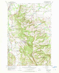
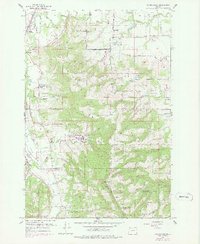
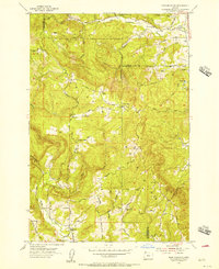
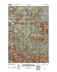
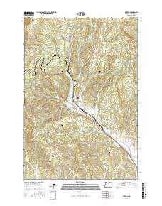
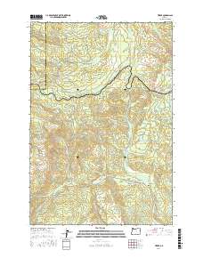
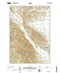
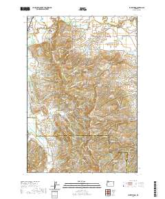
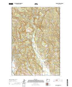
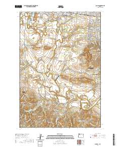
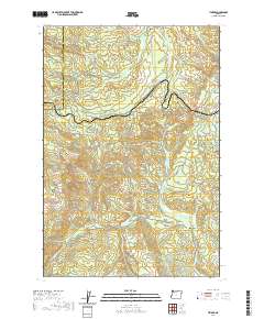
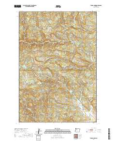
Editions of this 1956 Laurelwood Map
4 editions found
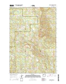
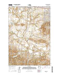
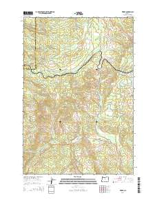
Historical Maps of Laurelwood Through Time
67 maps found

1941 Gales Creek
Washington County, OR

1941 Timber
Washington County, OR
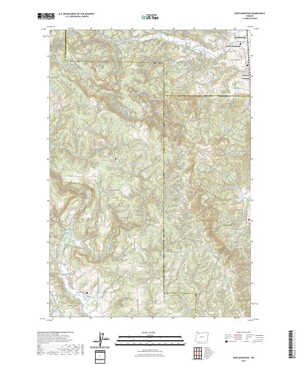
1953 Dixie Mountain
Washington County, OR
1954 Scholls
Washington County, OR
1955 Timber
Washington County, OR
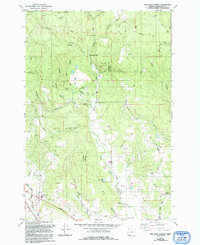
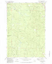
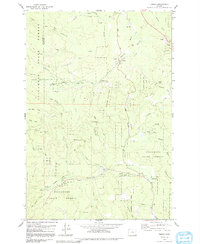
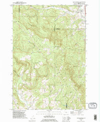
1956 Laurelwood
Washington County, OR
1961 Dixie Mountain
Washington County, OR
1961 Scholls
Washington County, OR
1974 Weiser South
Washington County, OR
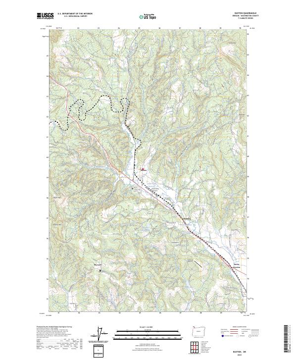
1979 Buxton
Washington County, OR
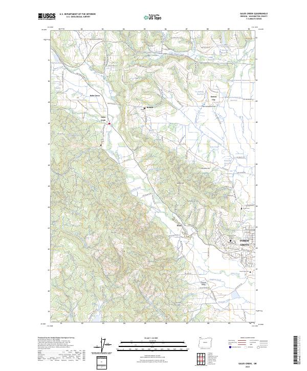
1979 Gales Creek
Washington County, OR
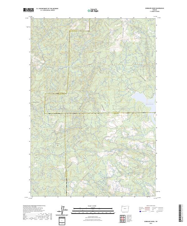
1979 Gobblers Knob
Washington County, OR
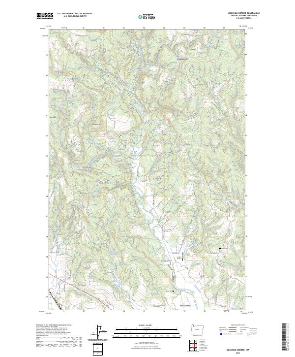
1979 Meacham Corner
Washington County, OR
1979 Roaring Creek
Washington County, OR
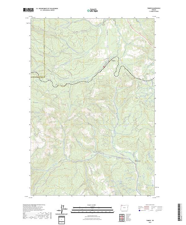
1979 Timber
Washington County, OR
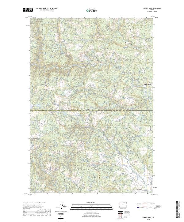
1979 Turner Creek
Washington County, OR
1990 Dixie Mountain
Washington County, OR
2011 Buxton
Washington County, OR
2011 Dixie Mountain
Washington County, OR
2011 Gales Creek
Washington County, OR
2011 Gobblers Knob
Washington County, OR
2011 Laurelwood
Washington County, OR
2011 Meacham Corner
Washington County, OR
2011 Roaring Creek
Washington County, OR
2011 Scholls
Washington County, OR
2011 Timber
Washington County, OR
2011 Turner Creek
Washington County, OR
2014 Buxton
Washington County, OR

2014 Dixie Mountain
Washington County, OR
2014 Gales Creek
Washington County, OR
2014 Gobblers Knob
Washington County, OR
2014 Laurelwood
Washington County, OR
2014 Meacham Corner
Washington County, OR
2014 Roaring Creek
Washington County, OR
2014 Scholls
Washington County, OR
2014 Timber
Washington County, OR
2014 Turner Creek
Washington County, OR
2017 Buxton
Washington County, OR
2017 Dixie Mountain
Washington County, OR
2017 Gales Creek
Washington County, OR
2017 Gobblers Knob
Washington County, OR
2017 Laurelwood
Washington County, OR
2017 Meacham Corner
Washington County, OR
2017 Roaring Creek
Washington County, OR
2017 Scholls
Washington County, OR
2017 Timber
Washington County, OR
2017 Turner Creek
Washington County, OR
2020 Buxton
Washington County, OR
2020 Dixie Mountain
Washington County, OR
2020 Gales Creek
Washington County, OR

2020 Gobblers Knob
Washington County, OR
2020 Laurelwood
Washington County, OR
2020 Meacham Corner
Washington County, OR
2020 Roaring Creek
Washington County, OR
2020 Scholls
Washington County, OR
2020 Timber
Washington County, OR
2020 Turner Creek
Washington County, OR
2023 Buxton
Washington County, OR
2023 Dixie Mountain
Washington County, OR
2023 Gales Creek
Washington County, OR
2023 Timber
Washington County, OR
2023 Turner Creek
Washington County, OR
2024 Gobblers Knob
Washington County, OR
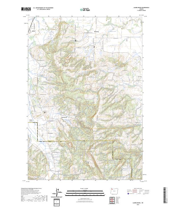
2024 Laurelwood
Washington County, OR
2024 Meacham Corner
Washington County, OR
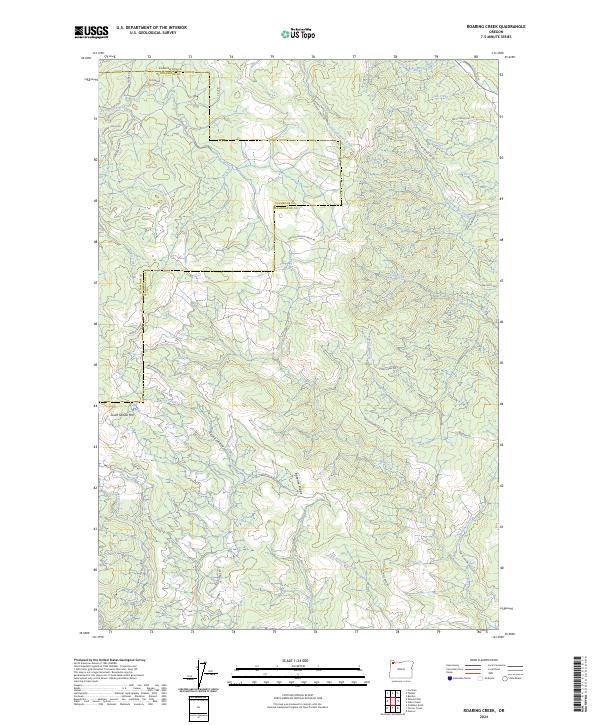
2024 Roaring Creek
Washington County, OR
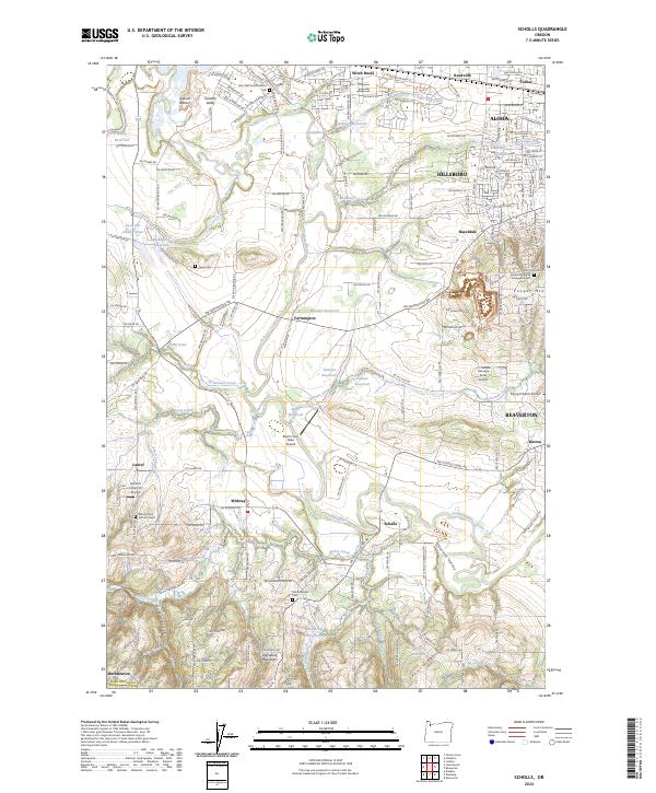
2024 Scholls
Washington County, OR