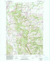
1956 Map of Laurelwood
USGS Topo · Published 1992About this map
Laurelwood Academy and the surrounding community of Laurelwood anchor this mid-century landscape in Washington County, where the topography shifts from the flats of the Wapato Lake Bed to the elevated heights of Bald Peak. The map documents a rural environment defined by agricultural infrastructure and family-named roads like Vanderby Rd and Dixon Mill Road. At the northern edge, the Tualatin River meanders past the settlements of Dilley and Blooming, while Bald Peak State Park marks the southern boundary at the Yamhill County line.
Find a feature on this map
46 named features on this map. Tap any name to fly to it.
Don’t see what you’re looking for? This feature index may not catch every label — zoom into the map to look around manually.
Map Details
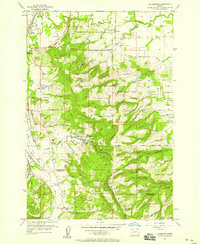
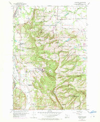
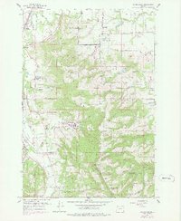
Editions of this 1956 Laurelwood Map
4 editions found
Other maps of this area

1915 · Hillsboro
USGS Topo · 1:62,500

1916 · Tualatin
USGS Topo · 1:62,500

1918 · Hillsboro
USGS Topo · 1:62,500

1939 · Tualatin
USGS Topo · 1:62,500

1940 · Tualatin
USGS Topo · 1:62,500

1940 · Hillsboro
USGS Topo · 1:62,500

1941 · Gales Creek
USGS Topo · 1:62,500

1941 · Yamhill
USGS Topo · 1:62,500

1942 · Yamhill
USGS Topo · 1:62,500

1948 · Vancouver
USGS Topo · 1:250,000