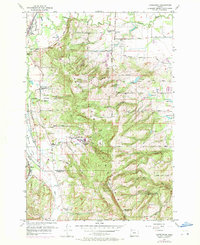
1956 Map of Laurelwood
USGS Topo · Published 1971About this map
The rolling agricultural landscape and rising terrain of the Chemawa Hills are documented here during a period of rural transition in the mid-1950s. Centered around the community of Laurelwood, the map highlights the prominence of the Laurelwood Academy and various local institutions that anchored this corner of Washington and Yamhill counties. Evidence of shifting educational and social patterns appears in the several decommissioned buildings, such as St Peters Sch and Iowa Hill Sch, while active sites like Spring Hill School and Hill School reflect the continuing needs of the valley farms.
Find a feature on this map
37 named features on this map. Tap any name to fly to it.
Don’t see what you’re looking for? This feature index may not catch every label — zoom into the map to look around manually.
Map Details
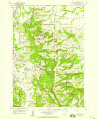
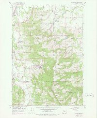
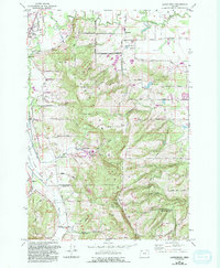
Editions of this 1956 Laurelwood Map
4 editions found
Other maps of this area

1915 · Hillsboro
USGS Topo · 1:62,500

1916 · Tualatin
USGS Topo · 1:62,500

1918 · Hillsboro
USGS Topo · 1:62,500

1939 · Tualatin
USGS Topo · 1:62,500

1940 · Tualatin
USGS Topo · 1:62,500

1940 · Hillsboro
USGS Topo · 1:62,500

1941 · Gales Creek
USGS Topo · 1:62,500

1941 · Yamhill
USGS Topo · 1:62,500

1942 · Yamhill
USGS Topo · 1:62,500

1948 · Vancouver
USGS Topo · 1:250,000