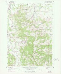
1956 Map of Laurelwood
USGS Topo · Published 1978About this map
The agricultural landscape of the Tualatin Valley and the northern Chehalem Mountains is captured here during the mid-1950s. The Southern Pacific railroad tracks run through the northwest corner, serving the settlement of Dilley and the community of Blooming. The map illustrates a high density of rural institutions, particularly schools and cemeteries, which highlight the established social fabric of this region. Notable landmarks include the Laurelwood Academy and several family-named terrain features like Spring Hill and Iowa Hill.
Find a feature on this map
41 named features on this map. Tap any name to fly to it.
Don’t see what you’re looking for? This feature index may not catch every label — zoom into the map to look around manually.
Map Details
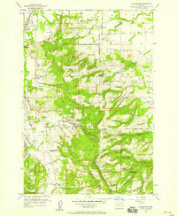
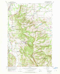
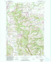
Editions of this 1956 Laurelwood Map
4 editions found
Other maps of this area

1915 · Hillsboro
USGS Topo · 1:62,500

1916 · Tualatin
USGS Topo · 1:62,500

1918 · Hillsboro
USGS Topo · 1:62,500

1939 · Tualatin
USGS Topo · 1:62,500

1940 · Tualatin
USGS Topo · 1:62,500

1940 · Hillsboro
USGS Topo · 1:62,500

1941 · Gales Creek
USGS Topo · 1:62,500

1941 · Yamhill
USGS Topo · 1:62,500

1942 · Yamhill
USGS Topo · 1:62,500

1948 · Vancouver
USGS Topo · 1:250,000