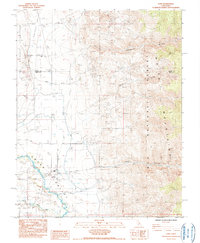
1984 Map of Laws
USGS Topo · Published 1984About this map
Laws sits at the heart of the Owens River Valley, a landscape defined by the juxtaposition of complex water management and the steep rise of the White Mountains. This mid-1980s provisional survey shows a sophisticated network of irrigation and drainage infrastructure, including the Mc Nally Canal, Smith Canal, and Rawson Canal, alongside the older Poleta Ditch. These systems sustained the valley floor even as the surrounding terrain remained dominated by mining and aviation.
Find a feature on this map
28 named features on this map. Tap any name to fly to it.
Don’t see what you’re looking for? This feature index may not catch every label — zoom into the map to look around manually.
Map Details
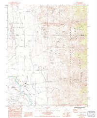
Editions of this 1984 Laws Map
2 editions found
Other maps of this area

1913 · Bishop
USGS Topo · 1:125,000

1917 · White Mountain
USGS Topo · 1:125,000

1947 · Mariposa
USGS Topo · 1:250,000

1948 · Mariposa
USGS Topo · 1:250,000

1949 · Bishop
USGS Topo · 1:62,500

1951 · Bishop
USGS Topo · 1:62,500

1951 · Blanco Mountain
USGS Topo · 1:62,500

1957 · Mariposa
USGS Topo · 1:250,000

1962 · Mt. Barcroft
USGS Topo · 1:62,500

1962 · White Mtn. Peak
USGS Topo · 1:62,500