
1955 Map of Lawton
USGS Topo · Published 1958About this map
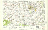
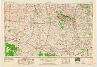
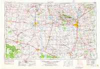
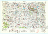
Wichita Mountains rise sharply above the southwestern Oklahoma plains, anchoring a landscape where military installations, wildlife conservation, and agriculture converge. The Fort Sill Military Reservation and the adjacent Wichita Mountains Wildlife Refuge dominate the north-central portion of the map, while prominent peaks like Mount Scott and Mount Pinchot provide vertical contrast to the surrounding section lines. This mid-century survey illustrates a mature agricultural and resource extraction economy, with numerous oil fields and gas wells scattered between established farming hubs.
Find a feature on this map
149 named features on this map. Tap any name to fly to it.
Don’t see what you’re looking for? This feature index may not catch every label — zoom into the map to look around manually.
Map Details
Editions of this 1955 Lawton Map
5 editions found
Other maps of this area

1901 · Addington
USGS Topo · 1:125,000

1902 · Rush Springs
USGS Topo · 1:125,000

1904 · Chickasha
USGS Topo · 1:125,000

1905 · Montague
USGS Topo · 1:125,000

1915 · Clara
USGS Topo · 1:24,000

1915 · Barwise School
USGS Topo · 1:24,000

1915 · Burkburnett
USGS Topo · 1:24,000

1916 · Electra
USGS Topo · 1:24,000

1916 · Iowa Park
USGS Topo · 1:24,000

1916 · Fowlkes
USGS Topo · 1:24,000