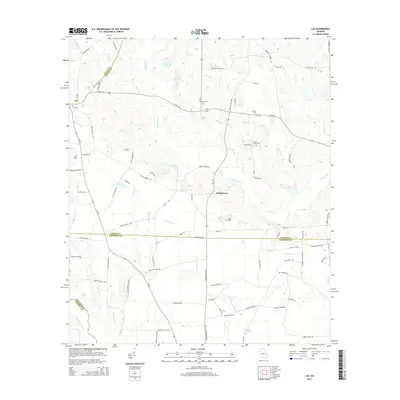
2014 Map of Lax
USGS Topo · Published 2014About this map
The Satilla River meanders across this rural landscape where the boundaries of Coffee, Atkinson, Irwin, and Berrien counties meet. Central to the area is the settlement of Bridgetown, situated near the river's path, while the community of Lax occupies the northwestern corner. This territory is defined by its extensive drainage network, including Braswell Cr and Pudding Cr, and the significant wetland area of Dark Bay in the southeast.
Find a feature on this map
86 named features on this map. Tap any name to fly to it.
Don’t see what you’re looking for? This feature index may not catch every label — zoom into the map to look around manually.
Map Details
Editions of this 2014 Lax Map
This is the sole edition of this map. No revisions or reprints were ever made.
Other maps of this area

1953 · Waycross
USGS Topo · 1:250,000

1958 · Waycross
USGS Topo · 1:250,000

1972 · Tenmile Bay
USGS Topo · 1:24,000

1972 · Kirkland
USGS Topo · 1:24,000

1972 · Willacoochee
USGS Topo · 1:24,000

1972 · Lax
USGS Topo · 1:24,000

1972 · Ambrose
USGS Topo · 1:24,000

1972 · Ocilla East
USGS Topo · 1:24,000

1972 · Mora
USGS Topo · 1:24,000
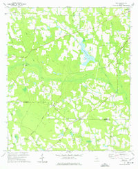
1977 · Mora
USGS Topo · 1:24,000