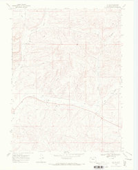
1969 Map of Lay SE
USGS Topo · Published 1972About this map
Lay Creek and its southern tributaries wind through this high-altitude landscape of northwest Colorado, where mid-century energy exploration left a distinct imprint on the terrain. Mapping conducted by the Geological Survey in the late 1960s documents a series of Oil Wells and exploratory Drill Holes concentrated along the breaks of Big Gulch. The sparse network of unimproved roads and scattered water sources, such as the Flowing Well in the northern hills, suggests a ranching environment increasingly shaped by the industrial search for natural resources. This survey serves as a precise record of the regional drainage patterns, including the headwaters of the North Fork, just before the further expansion of energy infrastructure in the Green River Basin.
Find a feature on this map
8 named features on this map. Tap any name to fly to it.
Don’t see what you’re looking for? This feature index may not catch every label — zoom into the map to look around manually.
Map Details
Editions of this 1969 Lay SE Map
4 editions found
Other maps of this area

1910 · Danforth Hills
USGS Topo · 1:125,000

1912 · Axial
USGS Topo · 1:62,500

1914 · Axial
USGS Topo · 1:62,500

1915 · Monument Butte
USGS Topo · 1:62,500

1916 · Craig
USGS Topo · 1:125,000

1954 · Craig
USGS Topo · 1:250,000

1957 · Craig
USGS Topo · 1:250,000

1958 · Craig
USGS Topo · 1:250,000

1960 · Craig
USGS Topo · 1:250,000

1962 · Craig
USGS Topo · 1:250,000