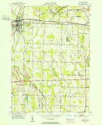
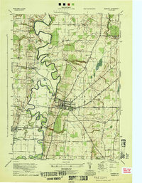
1950 Map of Le Roy
USGS Topo · Published 1952About this map
The village of Le Roy serves as a major transportation hub in the early 1950s, defined by a dense intersection of the Erie RR, Baltimore and Ohio RR, and New York Central RR. This convergence of rail lines shaped the local economy and settlement pattern, extending eastward toward Limerock and Caledonia. The landscape is dotted with genealogical landmarks, including Machpelah Cem, St Francis Cem, and St Anthony Ch, reflecting the diverse community that grew around these industrial corridors.
Find a feature on this map
41 named features on this map. Tap any name to fly to it.
Don’t see what you’re looking for? This feature index may not catch every label — zoom into the map to look around manually.
Map Details
Editions of this 1950 Le Roy Map
4 editions found
Other maps of this area

1897 · Albion
USGS Topo · 1:62,500

1899 · Brockport
USGS Topo · 1:62,500

1904 · Batavia
USGS Topo · 1:62,500

1904 · Caledonia
USGS Topo · 1:62,500

1934 · Clifton
USGS Topo · 1:24,000

1935 · Churchville
USGS Topo · 1:24,000
1944 · Geneseo
USGS Topo · 1:31,680

1944 · Churchville
USGS Topo · 1:31,680

1944 · Byron
USGS Topo · 1:31,680

1944 · Stafford
USGS Topo · 1:31,680