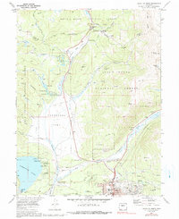
1970 Map of Leadville North
USGS Topo · Published 1991About this map
The high-altitude mining district of Leadville dominates the southern edge of this survey, where the legendary Matchless Mine and Hayden Mine anchor the silver-rich slopes of Fryer Hill. This area, documented in 1970, shows the complex industrial landscape of Lake County, where the D & R G W RR winds through Tennessee Park toward the critical crossing at Tennessee Pass. To the west, the man-made expanse of Turquoise Lake and the Sugarloaf Dam illustrate the massive water-management infrastructure supporting the region. The map captures the transition from heavy industry to mountain recreation, featuring the Cooper Hill Ski Area near the Continental Divide. Between the urban grid of the city—including West Park Sch and the Evergreen Cem—and the rugged peaks of Buckeye Peak and Mount Zion, the map details a landscape shaped by both the search for mineral wealth and the vital headwaters of the Arkansas River.
Find a feature on this map
49 named features on this map. Tap any name to fly to it.
Don’t see what you’re looking for? This feature index may not catch every label — zoom into the map to look around manually.
Map Details
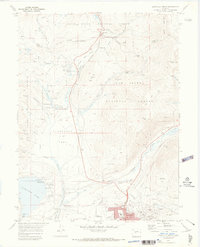
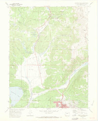
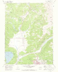
Editions of this 1970 Leadville North Map
4 editions found
Other maps of this area

1889 · Leadville
USGS Topo · 1:125,000

1891 · Leadville
USGS Topo · 1:125,000

1934 · Climax
USGS Topo · 1:48,000

1935 · Mount Elbert
USGS Topo · 1:62,500

1938 · Mt. Lincoln
USGS Topo · 1:48,000

1938 · Mount Elbert
USGS Topo · 1:62,500

1939 · Mount Elbert
USGS Topo · 1:62,500

1942 · Leadville
USGS Topo · 1:125,000

1945 · Mount Lincoln
USGS Topo · 1:62,500

1949 · Holy Cross
USGS Topo · 1:62,500