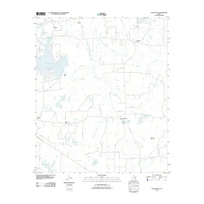
2010 Map of Leagueville
USGS Topo · Published 2010About this map
Athens Lake and the Lake Athens Dam dominate the western portion of this East Texas landscape, which is defined by an intricate network of creeks and small impoundments. The settlement of Leagueville sits near the headwaters of Flat Creek, while the community of Baxter is located further south near the intersection of FM 804 and the Alligator Branch. Genealogists will find significant value in the distribution of family and community burial grounds, including the Blackjack Cemetery, Rounsavall Cemetery, and the New York Cemetery near Tindel Lake. The terrain is punctuated by notable elevations such as Tater Hill Mountain in the southeast. Numerous minor waterways like Adams Creek, Catfish Creek, and New York Creek reveal a rural landscape where water management and agriculture have long shaped the local geography.
Find a feature on this map
46 named features on this map. Tap any name to fly to it.
Don’t see what you’re looking for? This feature index may not catch every label — zoom into the map to look around manually.
Map Details
Editions of this 2010 Leagueville Map
This is the sole edition of this map. No revisions or reprints were ever made.
Other maps of this area

1948 · Brownsboro
USGS Topo · 1:62,500

1948 · Martins Mill
USGS Topo · 1:62,500

1949 · Martins Mill
USGS Topo · 1:62,500

1949 · Brownsboro
USGS Topo · 1:62,500

1949 · Frankston
USGS Topo · 1:62,500

1949 · Athens
USGS Topo · 1:62,500

1950 · Athens
USGS Topo · 1:62,500

1950 · Frankston
USGS Topo · 1:62,500

1956 · Tyler
USGS Topo · 1:250,000

1984 · Tyler
USGS Topo · 1:250,000