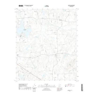
2019 Map of Leagueville
USGS Topo · Published 2019About this map
New York and Leagueville define the rural character of this Henderson County landscape, where small crossroads communities are interspersed with family-named cemeteries and a complex network of creeks. The eastern edge of Athens reaches into the quadrangle at Lake Athens, marking a point where residential developments like those along Blue Bird Ln and Sabine Dr meet the agricultural hinterland. This 2019 survey documents a terrain shaped by water, from the winding path of New York Cr to the various man-made reservoirs and ponds that dot the countryside.
Find a feature on this map
107 named features on this map. Tap any name to fly to it.
Don’t see what you’re looking for? This feature index may not catch every label — zoom into the map to look around manually.
Map Details
Editions of this 2019 Leagueville Map
This is the sole edition of this map. No revisions or reprints were ever made.
Other maps of this area

1948 · Brownsboro
USGS Topo · 1:62,500

1948 · Martins Mill
USGS Topo · 1:62,500

1949 · Martins Mill
USGS Topo · 1:62,500

1949 · Brownsboro
USGS Topo · 1:62,500

1949 · Frankston
USGS Topo · 1:62,500

1949 · Athens
USGS Topo · 1:62,500

1950 · Athens
USGS Topo · 1:62,500

1950 · Frankston
USGS Topo · 1:62,500

1956 · Tyler
USGS Topo · 1:250,000

1984 · Tyler
USGS Topo · 1:250,000