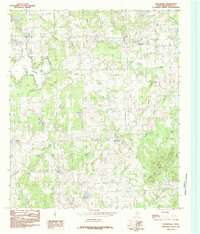
1984 Map of Leagueville
USGS Topo · Published 1984About this map
Leagueville and the small settlement of New York anchor this East Texas landscape as it appeared in the mid-1980s. The map captures a transition from the developing eastern edge of Lake Athens to the creeks and ridges of rural Henderson County. A network of waterways, including the curiously named Alligator Branch and Muscadine Branch, flows through the undulating terrain, punctuated by landmarks like Tater Hill Mountain and the low-lying Flat.
Find a feature on this map
22 named features on this map. Tap any name to fly to it.
Don’t see what you’re looking for? This feature index may not catch every label — zoom into the map to look around manually.
Map Details
Editions of this 1984 Leagueville Map
This is the sole edition of this map. No revisions or reprints were ever made.
Other maps of this area

1948 · Brownsboro
USGS Topo · 1:62,500

1948 · Martins Mill
USGS Topo · 1:62,500

1949 · Martins Mill
USGS Topo · 1:62,500

1949 · Brownsboro
USGS Topo · 1:62,500

1949 · Frankston
USGS Topo · 1:62,500

1949 · Athens
USGS Topo · 1:62,500

1950 · Athens
USGS Topo · 1:62,500

1950 · Frankston
USGS Topo · 1:62,500

1956 · Tyler
USGS Topo · 1:250,000

1984 · Tyler
USGS Topo · 1:250,000