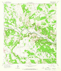
1962 Map of Leander NE
USGS Topo · Published 1966About this map
The North Fork San Gabriel River carves a deep path through this portion of Williamson County, where the landscape is defined by its numerous limestone springs and winding hollows. Settlements like Seward Junction and Rock House anchor the rural road network, while the local genealogy is preserved in small family and community burial grounds, including Anderson Cem, Bullion Cem, and Rocky Hollow Cem.
Find a feature on this map
34 named features on this map. Tap any name to fly to it.
Don’t see what you’re looking for? This feature index may not catch every label — zoom into the map to look around manually.
Map Details
Editions of this 1962 Leander NE Map
4 editions found
Other maps of this area

1893 · Georgetown
USGS Topo · 1:125,000

1925 · Georgetown 4-b
USGS Topo · 1:48,000

1928 · Round Rock
USGS Topo · 1:62,500

1949 · Round Rock
USGS Topo · 1:62,500

1951 · Round Rock
USGS Topo · 1:62,500

1954 · Austin
USGS Topo · 1:250,000
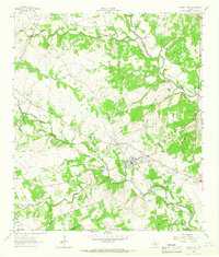
1962 · Liberty Hill
USGS Topo · 1:24,000
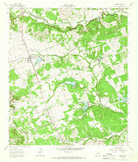
1962 · Leander
USGS Topo · 1:24,000
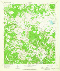
1962 · Nameless
USGS Topo · 1:24,000
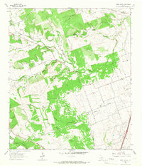
1964 · Cobbs Cavern
USGS Topo · 1:24,000