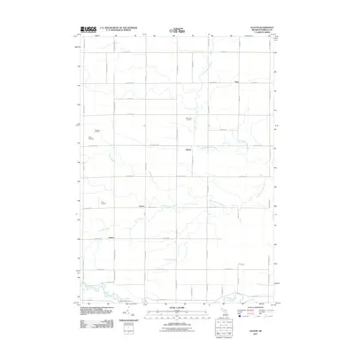
2011 Map of Leaton
USGS Topo · Published 2011About this map
Leaton and Wise anchor this township-level survey of Isabella County, where the regular grid of section-line roads meets the meandering paths of the North Branch Salt River and South Branch Salt River. The landscape reflects a mix of agricultural heritage and industrial extraction, most notably marked by the Rosebush Oil Field in the northwest corner near Bissing Cemetery. The rural character is punctuated by several small communities, including Delwin and Jordan, which serve as quiet hubs along the thoroughfares of N Shepherd Rd and E Beal City Rd.
Find a feature on this map
47 named features on this map. Tap any name to fly to it.
Don’t see what you’re looking for? This feature index may not catch every label — zoom into the map to look around manually.
Map Details
Editions of this 2011 Leaton Map
This is the sole edition of this map. No revisions or reprints were ever made.
Other maps of this area

1916 · Mount Pleasant
USGS Topo · 1:62,500

1919 · Mount Pleasant
USGS Topo · 1:62,500

1930 · Shepherd
USGS Topo · 1:48,000

1936 · Shepherd
USGS Topo · 1:62,500

1943 · Mount Pleasant
USGS Topo · 1:62,500

1954 · Midland
USGS Topo · 1:250,000

1958 · Midland
USGS Topo · 1:250,000

1959 · Midland
USGS Topo · 1:250,000

1959 · Clare
USGS Topo · 1:62,500

1966 · Midland
USGS Topo · 1:250,000