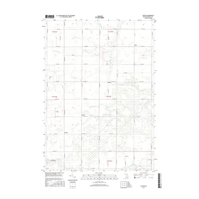
2017 Map of Leaton
USGS Topo · Published 2017About this map
The Chippewa River and the branching segments of the Salt River define this Isabella County landscape, where small rural settlements are linked by a strict grid of section roads. The community of Wise sits in the northeast, while the smaller hamlets of Delwin, Leaton, and Jordan follow the north-south axis of N Leaton Rd and S Leaton Rd. These centers served a landscape heavily modified for agriculture, evidenced by an extensive network of man-made waterways like McDonald Drain, Sharps Drain, and Killenbeck Drain designed to manage the flat, often marshy terrain.
Find a feature on this map
54 named features on this map. Tap any name to fly to it.
Don’t see what you’re looking for? This feature index may not catch every label — zoom into the map to look around manually.
Map Details
Editions of this 2017 Leaton Map
This is the sole edition of this map. No revisions or reprints were ever made.
Other maps of this area

1916 · Mount Pleasant
USGS Topo · 1:62,500

1919 · Mount Pleasant
USGS Topo · 1:62,500

1930 · Shepherd
USGS Topo · 1:48,000

1936 · Shepherd
USGS Topo · 1:62,500

1943 · Mount Pleasant
USGS Topo · 1:62,500

1954 · Midland
USGS Topo · 1:250,000

1958 · Midland
USGS Topo · 1:250,000

1959 · Midland
USGS Topo · 1:250,000

1959 · Clare
USGS Topo · 1:62,500

1966 · Midland
USGS Topo · 1:250,000