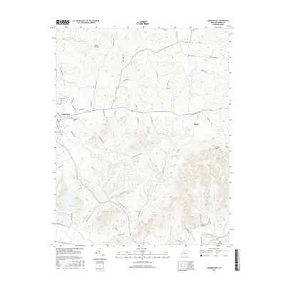
2016 Map of Lebanon East
USGS Topo · Published 2016About this map
The city of Lebanon serves as the focal point for this Marion County landscape, showing the expansion of residential and commercial development toward the Colgans Hill area. Outside the city limits, the terrain transitions into a patchwork of ridges and drainage basins, including the rugged Turkey Pen Hollow and Rogue Hollow. Waterways like Cartwright Cr and the Rolling Fork define the movement of the land, while local landmarks such as Putnam Knob and The Narrows provide clear geographic markers for the surrounding countryside.
Find a feature on this map
76 named features on this map. Tap any name to fly to it.
Don’t see what you’re looking for? This feature index may not catch every label — zoom into the map to look around manually.
Map Details
Editions of this 2016 Lebanon East Map
This is the sole edition of this map. No revisions or reprints were ever made.
Other maps of this area

1952 · Bradfordsville
USGS Topo · 1:24,000

1953 · Mackville
USGS Topo · 1:24,000

1953 · Bradfordsville NE
USGS Topo · 1:24,000

1953 · Gravel Switch
USGS Topo · 1:24,000

1953 · Saint Catharine
USGS Topo · 1:24,000

1953 · Lebanon East
USGS Topo · 1:24,000

1953 · Springfield
USGS Topo · 1:24,000

1953 · Spurlington
USGS Topo · 1:24,000

1953 · Lebanon West
USGS Topo · 1:24,000

1953 · Bradfordsville
USGS Topo · 1:24,000