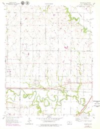
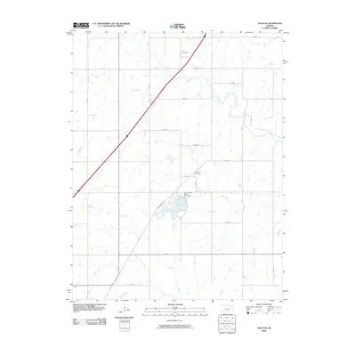
1957 Map of Lebo NW
USGS Topo · Published 1983About this map
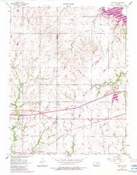
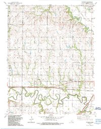
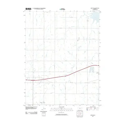
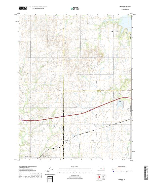
The Old Indian Boundary cuts diagonally through this landscape, marking a significant historical surveyor's line across the tri-county corner of Lyon, Osage, and Coffey. To the northeast, the Marais des Cygnes River flows through the Melvern Lake State Wildlife Management Area, eventually feeding into the expansive Melvern Lake. The map reveals a dense network of family and community history through its numerous cemeteries, including Arvonia Cem, St Lawrence Cem, and Lincoln Cem, many of which are situated near seasonal waterways like Troublesome Creek and Logwater Branch.
Find a feature on this map
27 named features on this map. Tap any name to fly to it.
Don’t see what you’re looking for? This feature index may not catch every label — zoom into the map to look around manually.
Map Details
Editions of this 1957 Lebo NW Map
3 editions found
Historical Maps of Lebo Through Time
55 maps found
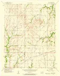
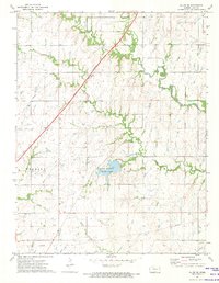
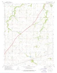
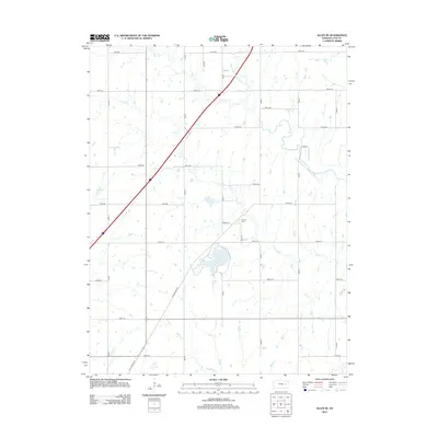
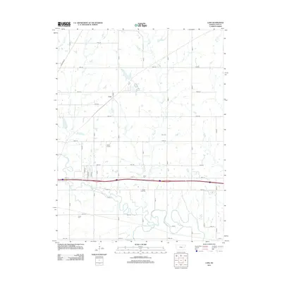
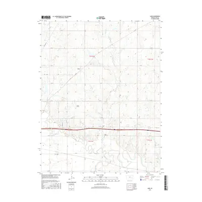
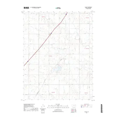
1957 Lang
Lyon County, KS
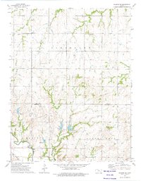
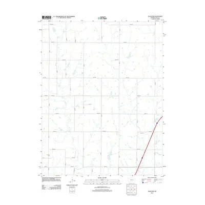
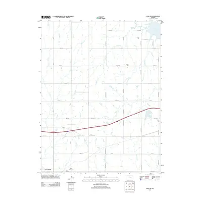
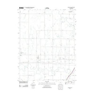
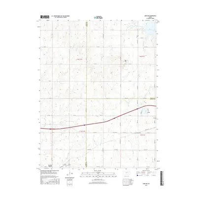
1957 Lebo NW
Lyon County, KS
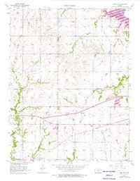
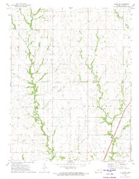
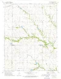
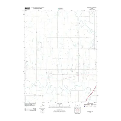
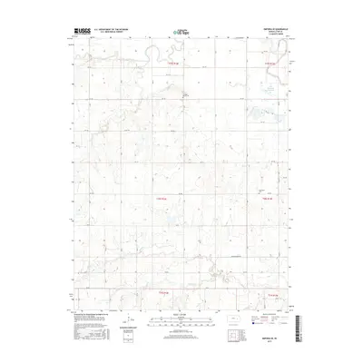
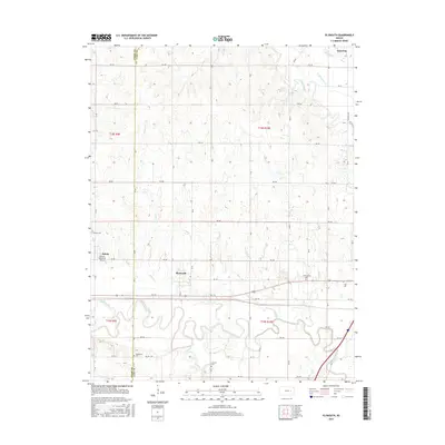
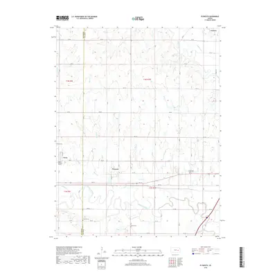
1957 Plymouth
Lyon County, KS
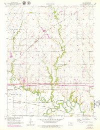
1972 Allen SE
Lyon County, KS
1972 Allen SW
Lyon County, KS
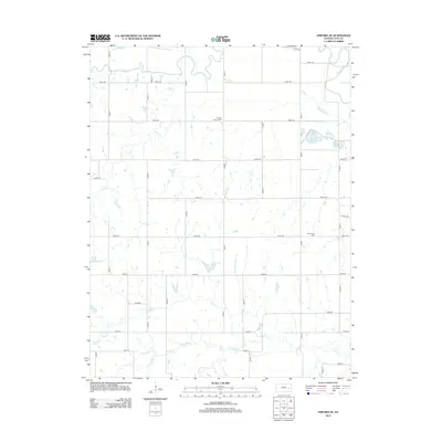
1973 Emporia SE
Lyon County, KS
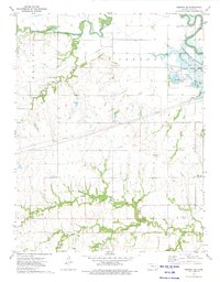
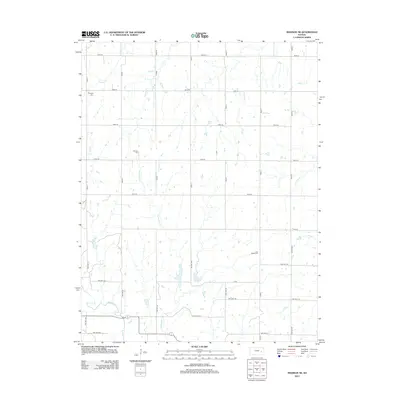
1973 Madison NE
Lyon County, KS
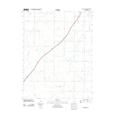
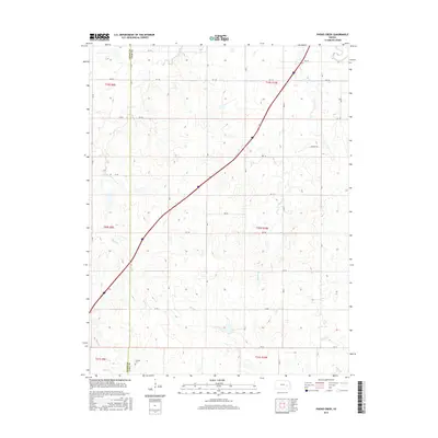
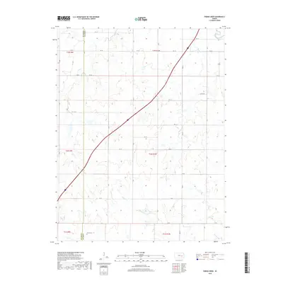
1973 Phenis Creek
Lyon County, KS
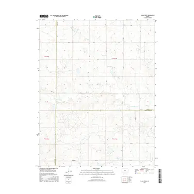
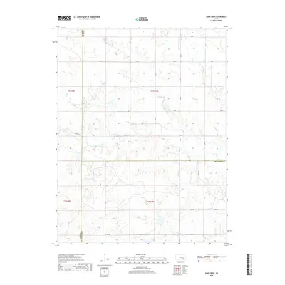
1973 Shaw Creek
Lyon County, KS
1989 Plymouth
Lyon County, KS
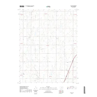
2009 Allen SE
Lyon County, KS
2009 Allen SW
Lyon County, KS
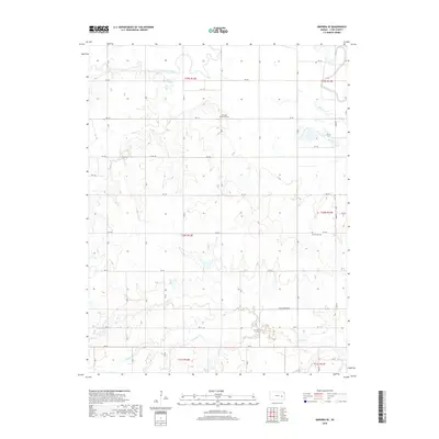
2009 Emporia SE
Lyon County, KS
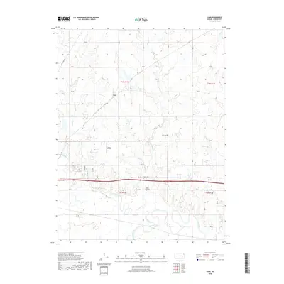
2009 Lang
Lyon County, KS
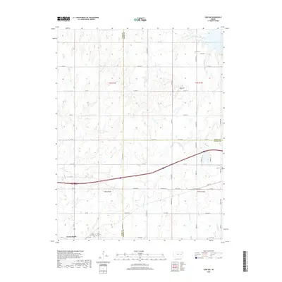
2009 Lebo NW
Lyon County, KS
2009 Shaw Creek
Lyon County, KS
2010 Madison NE
Lyon County, KS
2010 Phenis Creek
Lyon County, KS
2010 Plymouth
Lyon County, KS
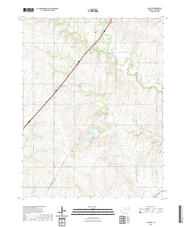
2012 Allen SE
Lyon County, KS
2012 Allen SW
Lyon County, KS
2012 Emporia SE
Lyon County, KS
2012 Lang
Lyon County, KS
2012 Lebo NW
Lyon County, KS
2012 Madison NE
Lyon County, KS
2012 Phenis Creek
Lyon County, KS
2012 Plymouth
Lyon County, KS
2012 Shaw Creek
Lyon County, KS
2015 Allen SE
Lyon County, KS
2015 Allen SW
Lyon County, KS
2015 Emporia SE
Lyon County, KS
2015 Lang
Lyon County, KS
2015 Lebo NW
Lyon County, KS
2015 Madison NE
Lyon County, KS
2015 Phenis Creek
Lyon County, KS
2015 Plymouth
Lyon County, KS
2015 Shaw Creek
Lyon County, KS
2018 Allen SE
Lyon County, KS
2018 Allen SW
Lyon County, KS
2018 Emporia SE
Lyon County, KS
2018 Lang
Lyon County, KS
2018 Lebo NW
Lyon County, KS
2018 Madison NE
Lyon County, KS
2018 Phenis Creek
Lyon County, KS
2018 Plymouth
Lyon County, KS
2018 Shaw Creek
Lyon County, KS
2022 Allen SE
Lyon County, KS
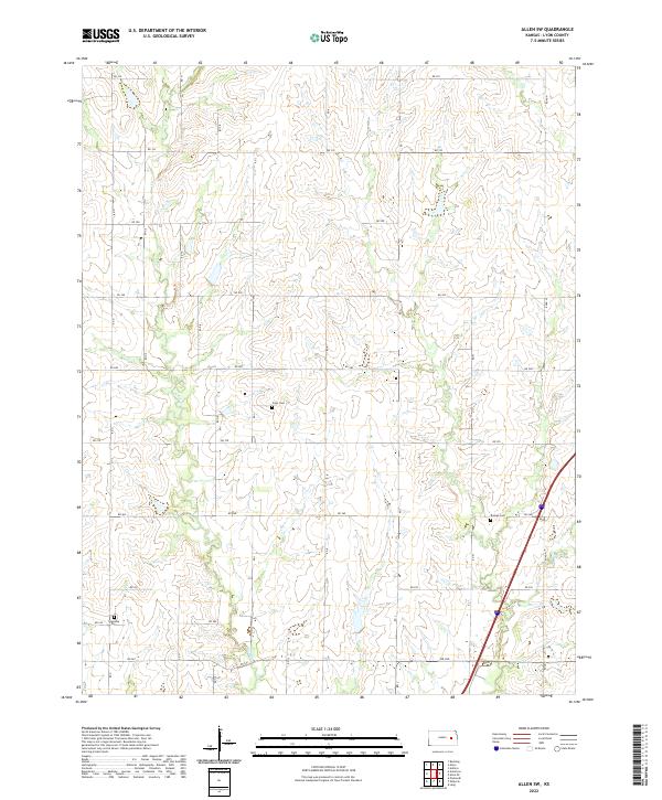
2022 Allen SW
Lyon County, KS
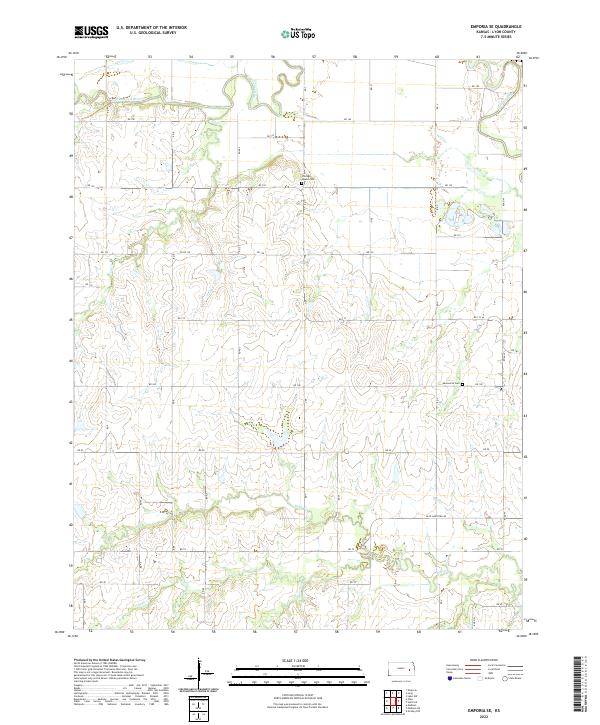
2022 Emporia SE
Lyon County, KS
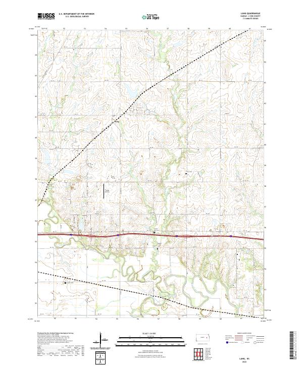
2022 Lang
Lyon County, KS
2022 Lebo NW
Lyon County, KS
2022 Madison NE
Lyon County, KS
2022 Phenis Creek
Lyon County, KS
2022 Plymouth
Lyon County, KS
2022 Shaw Creek
Lyon County, KS