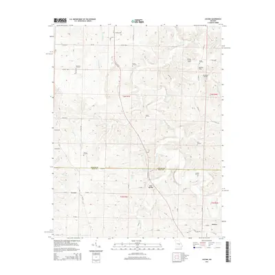
2015 Map of Lecoma
USGS Topo · Published 2015About this map
Lecoma sits near the southwestern corner of this Ozark landscape, where the plateau begins to break into the complex drainage systems of the Little Dry Fork and Dry Fork. The area is characterized by high ridges like Schuman Ridge and deep hollows, notably Normans Hollow, which have dictated the placement of rural roads and homesteads for generations. The boundary between Phelps and Dent counties bisects the sheet, separating the community of Lake Spring from its northern neighbors.
Find a feature on this map
53 named features on this map. Tap any name to fly to it.
Don’t see what you’re looking for? This feature index may not catch every label — zoom into the map to look around manually.
Map Details
Editions of this 2015 Lecoma Map
This is the sole edition of this map. No revisions or reprints were ever made.
Other maps of this area

1912 · Rolla
USGS Topo · 1:62,500

1928 · Meramec Spring
USGS Topo · 1:62,500

1937 · Edgar Springs
USGS Topo · 1:48,000

1941 · Salem
USGS Topo · 1:62,500

1945 · Salem
USGS Topo · 1:62,500

1945 · Edgar Springs
USGS Topo · 1:62,500

1949 · Rolla
USGS Topo · 1:250,000

1949 · Meramec Spring
USGS Topo · 1:62,500
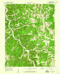
1950 · Yancy Mills
USGS Topo · 1:24,000
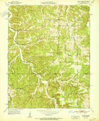
1951 · Yancy Mills
USGS Topo · 1:24,000