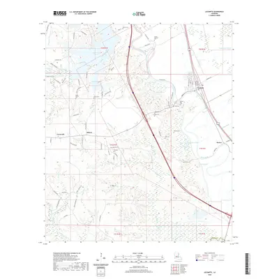
2020 Map of Lecompte
USGS Topo · Published 2020About this map
Bayou Boeuf meanders through the eastern portion of this Louisiana landscape, anchoring the settlements of Lecompte and Meeker. The area is characterized by a transition from the structured residential blocks of the town centers to the sprawling wetlands of Beaver Creek Swamp and Mathews Brake. This 2020 record of Rapides Parish highlights a dense network of family and community landmarks, particularly evident in the high concentration of burial sites such as Wilmer Memorial Cem, Ballard Cem, and Pisgah Cem.
Find a feature on this map
90 named features on this map. Tap any name to fly to it.
Don’t see what you’re looking for? This feature index may not catch every label — zoom into the map to look around manually.
Map Details
Editions of this 2020 Lecompte Map
This is the sole edition of this map. No revisions or reprints were ever made.
Other maps of this area

1935 · Turkey Creek
USGS Topo · 1:62,500

1935 · Lecompte
USGS Topo · 1:62,500

1942 · Oakdale
USGS Topo · 1:62,500

1949 · Glenmora
USGS Topo · 1:31,680

1949 · Turkey Creek
USGS Topo · 1:62,500

1952 · Lake Charles
USGS Topo · 1:250,000

1953 · Alexandria
USGS Topo · 1:250,000

1954 · Lake Charles
USGS Topo · 1:250,000

1955 · Alexandria
USGS Topo · 1:250,000

1956 · Forest Hill
USGS Topo · 1:62,500