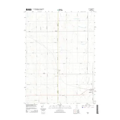
2015 Map of Lee
USGS Topo · Published 2015About this map
Lee and Shabbona anchor this section of the rural Illinois landscape, situated along the shared boundary of Lee and DeKalb Counties. The terrain is defined by a dense network of seasonal and permanent waterways, including Steward Cr and various branches of the South Branch Kishwaukee River. The distribution of local history is evidenced by several rural burial grounds such as Union Cem, Norwegian Lutheran Cem, and Lee Calvary Cem, which are scattered throughout the agricultural blocks. The map reveals a strict grid of section roads like Shabbona Rd and Perry Rd, typical of the Midwest's surveying history. A notable concentration of residential streets appears in the southern portion near W Comanche Ave and W Cherokee Ave, reflecting more modern subdivision patterns amidst the traditional prairie farmland.
Find a feature on this map
37 named features on this map. Tap any name to fly to it.
Don’t see what you’re looking for? This feature index may not catch every label — zoom into the map to look around manually.
Map Details
Editions of this 2015 Lee Map
This is the sole edition of this map. No revisions or reprints were ever made.
Other maps of this area

1934 · De Kalb
USGS Topo · 1:62,500

1937 · De Kalb
USGS Topo · 1:62,500

1951 · Earlville
USGS Topo · 1:62,500

1952 · Rochelle
USGS Topo · 1:62,500

1952 · Mendota
USGS Topo · 1:62,500

1958 · Aurora
USGS Topo · 1:250,000

1961 · Aurora
USGS Topo · 1:250,000
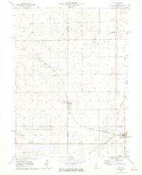
1971 · Lee
USGS Topo · 1:24,000
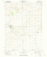
1971 · Paw Paw
USGS Topo · 1:24,000
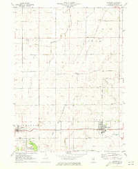
1971 · Waterman
USGS Topo · 1:24,000