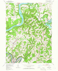
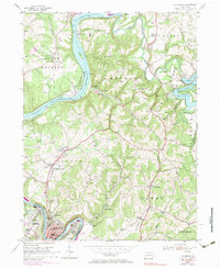
1954 Map of Leechburg
USGS Topo · Published 1966About this map
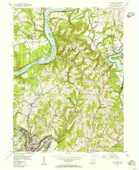
Allegheny River and Kiskiminetas River dominate this mid-century topography, defining the industrial and agricultural landscape of Armstrong Co and Westmoreland Co. The river valley is a corridor of heavy industry and transit, featuring Lock and Dam No 6 and the winding tracks of the Pennsylvania railroad. Inland from the riverbanks, the terrain rises into the dissected plateaus of Gilpin and Bethel townships, where the economy shifted toward resource extraction and rural community life. Small settlements like Logansport and Kelly Station are anchored by local institutions, including Forks Church and the Taylor Run Sch. Evidence of the region's extractive history is visible in the Strip Mine operations and the Park Mine, while newer cultural features like the Drive-in Theater near Rosston and the McVille Airport mark the post-war era's modernization.
Find a feature on this map
75 named features on this map. Tap any name to fly to it.
Don’t see what you’re looking for? This feature index may not catch every label — zoom into the map to look around manually.
Map Details
Editions of this 1954 Leechburg Map
5 editions found
Other maps of this area

1900 · Kittanning
USGS Topo · 1:62,500

1901 · Rural Valley
USGS Topo · 1:62,500

1902 · Kittanning
USGS Topo · 1:62,500

1902 · Elders Ridge
USGS Topo · 1:62,500

1903 · Rural Valley
USGS Topo · 1:62,500

1904 · Elders Ridge
USGS Topo · 1:62,500

1907 · Freeport
USGS Topo · 1:62,500

1909 · Freeport
USGS Topo · 1:62,500

1953 · Pittsburgh
USGS Topo · 1:250,000

1953 · New Kensington East
USGS Topo · 1:24,000