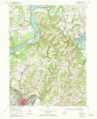
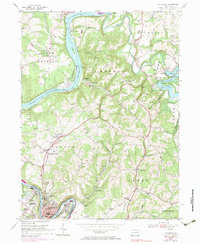
1954 Map of Leechburg
USGS Topo · Published 1970About this map
Allegheny River and Crooked Creek waters dominate this mid-century landscape where industrial infrastructure meets recreational space. The manufacturing core is anchored by Leechburg and West Leechburg along the river's southern bend, while the northern reaches show the development of Crooked Creek State Park. The river serves as a major transportation corridor, featuring Penn Central rail lines and Lock and Dam No 6. Local community life is evidenced by numerous rural institutions, including Forks Church, Hills Consolidated Sch, and family-named locations like Lookabough Corners. Extensive terrain details capture the ridge-and-valley transition, from the heights of Cooks Summit to the industrial flats near the Filtration Plant. This era shows a mix of active and inactive Strip Mine operations alongside small settlements like Kelly Station and Logansport, providing a clear view of the regional economy before late-century shifts.
Find a feature on this map
70 named features on this map. Tap any name to fly to it.
Don’t see what you’re looking for? This feature index may not catch every label — zoom into the map to look around manually.
Map Details
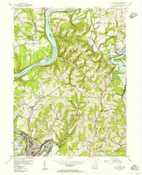
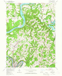
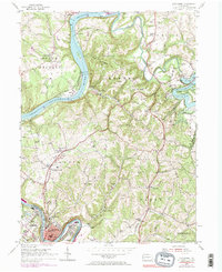
Editions of this 1954 Leechburg Map
5 editions found
Other maps of this area

1900 · Kittanning
USGS Topo · 1:62,500

1901 · Rural Valley
USGS Topo · 1:62,500

1902 · Kittanning
USGS Topo · 1:62,500

1902 · Elders Ridge
USGS Topo · 1:62,500

1903 · Rural Valley
USGS Topo · 1:62,500

1904 · Elders Ridge
USGS Topo · 1:62,500

1907 · Freeport
USGS Topo · 1:62,500

1909 · Freeport
USGS Topo · 1:62,500

1953 · Pittsburgh
USGS Topo · 1:250,000

1953 · New Kensington East
USGS Topo · 1:24,000