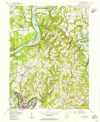
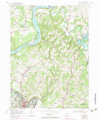
1954 Map of Leechburg
USGS Topo · Published 1956About this map
The Allegheny River and Kiskiminetas River converge at the heart of this mid-century industrial and coal landscape. The borough of Leechburg sits prominently in the bend of the Kiskiminetas, flanked by West Leechburg and Hyde Park. Upriver, the Pittsburgh and Shawmut and Pennsylvania railroads trace the steep riverbanks, serving riverside settlements like Logansport and Cadogan. The map captures the infrastructure of the era, from Lock and Dam No 6 to the Pumping Station near Crooked Creek.
Find a feature on this map
69 named features on this map. Tap any name to fly to it.
Don’t see what you’re looking for? This feature index may not catch every label — zoom into the map to look around manually.
Map Details
Editions of this 1954 Leechburg Map
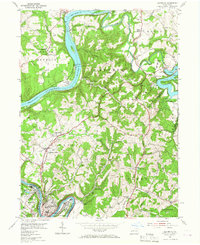
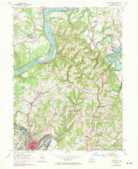
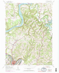
5 editions found
Other maps of this area

1900 · Kittanning
USGS Topo · 1:62,500

1901 · Rural Valley
USGS Topo · 1:62,500

1902 · Kittanning
USGS Topo · 1:62,500

1902 · Elders Ridge
USGS Topo · 1:62,500

1903 · Rural Valley
USGS Topo · 1:62,500

1904 · Elders Ridge
USGS Topo · 1:62,500

1907 · Freeport
USGS Topo · 1:62,500

1909 · Freeport
USGS Topo · 1:62,500

1953 · Pittsburgh
USGS Topo · 1:250,000

1953 · New Kensington East
USGS Topo · 1:24,000