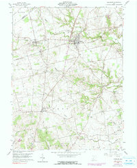
1960 Map of Leesburg
USGS Topo · Published 1990About this map
The Baltimore and Ohio railroad corridor anchors the northern half of this landscape, connecting the settlements of Highland, Leesburg, and East Monroe. This agricultural region in Highland Co is defined by a dense network of country burial grounds and small community hubs, with the crossroads of Samantha and the hamlet of Bridges serving the southern townships. The terrain transitions from the level rail-side plains to more dissected valley land near Lees Creek and Hardin Creek, where landmarks like High Top rise above the drainage basins of Fall Creek and Bull Creek.
Find a feature on this map
41 named features on this map. Tap any name to fly to it.
Don’t see what you’re looking for? This feature index may not catch every label — zoom into the map to look around manually.
Map Details
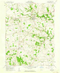
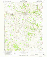
Editions of this 1960 Leesburg Map
3 editions found
Other maps of this area

1915 · Bainbridge
USGS Topo · 1:48,000

1917 · Bainbridge
USGS Topo · 1:62,500

1917 · Greenfield
USGS Topo · 1:62,500

1917 · Hillsboro
USGS Topo · 1:62,500

1917 · Sabina
USGS Topo · 1:62,500

1943 · Sabina
USGS Topo · 1:62,500

1944 · Hillsboro
USGS Topo · 1:62,500

1944 · Greenfield
USGS Topo · 1:62,500

1947 · Columbus
USGS Topo · 1:250,000

1960 · Greenfield
USGS Topo · 1:24,000