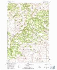
1960 Map of Lemon Ranch
USGS Topo · Published 1962About this map
Lemon Ranch sits at the heart of this rangeland survey, situated within a complex landscape of drainage coulees and elevated ridges. The terrain is dominated by the massive Pine Ridge formation, which trends northwest across the quadrangle, serving as a significant geographic divider. The eastern half of the map is defined by deep erosion patterns, featuring numerous named drainages such as Deadmans Coulee, Wagon Box Coulee, and Robs Coulee. These features suggest a history of seasonal water management and livestock movement in this portion of Big Horn and Yellowstone counties.
Find a feature on this map
11 named features on this map. Tap any name to fly to it.
Don’t see what you’re looking for? This feature index may not catch every label — zoom into the map to look around manually.
Map Details
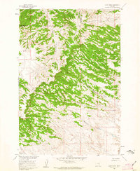
Editions of this 1960 Lemon Ranch Map
2 editions found
Other maps of this area

1894 · Fort Custer
USGS Topo · 1:125,000

1954 · Hardin
USGS Topo · 1:250,000

1954 · Forsyth
USGS Topo · 1:250,000

1957 · Hardin
USGS Topo · 1:250,000

1957 · Forsyth
USGS Topo · 1:250,000

1958 · Forsyth
USGS Topo · 1:250,000

1958 · Hardin
USGS Topo · 1:250,000

1960 · Foster
USGS Topo · 1:24,000

1960 · Ninemile Point
USGS Topo · 1:24,000

1960 · Chimney Creek
USGS Topo · 1:24,000