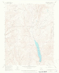
1964 Map of Lemon Reservoir
USGS Topo · Published 1968About this map
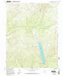
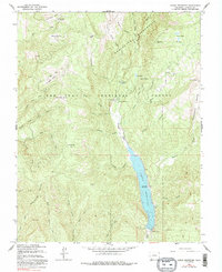
Lemon Reservoir dominates the lower reach of the Florida River valley in this mid-1960s survey of the San Juan National Forest. Captured shortly after the construction of Lemon Dam, the map illustrates a landscape transitioning for recreation and water management. High-altitude meadows known locally as parks, including Horse Thief Park, Kroeger Park, and Wallace Park, are scattered across the drainage basins of the Florida and its many tributaries like Waldner Creek and Miller Creek. The eastern ascent toward Miller Mountain and the western rise of Missionary Ridge frame the basin, while established sites like Bear Creek Campground and Transfer Park Campground show the forest's early developed infrastructure. The map records several drainage systems, such as Carbonate Basin and Stump Canyon, which are accessible primarily by Burnt Timber Road and various rugged tracks.
Find a feature on this map
43 named features on this map. Tap any name to fly to it.
Don’t see what you’re looking for? This feature index may not catch every label — zoom into the map to look around manually.
Map Details
Editions of this 1964 Lemon Reservoir Map
6 editions found
Other maps of this area

1898 · Durango
USGS Topo · 1:62,500

1898 · Engineer Mountain
USGS Topo · 1:62,500

1900 · Engineer Mountain
USGS Topo · 1:62,500

1900 · Needle Mountains
USGS Topo · 1:62,500

1902 · Needle Mountains
USGS Topo · 1:62,500

1907 · Durango
USGS Topo · 1:62,500

1908 · Engineer Mountain
USGS Topo · 1:62,500

1908 · Ignacio
USGS Topo · 1:125,000

1908 · Durango
USGS Topo · 1:62,500

1924 · Ignacio
USGS Topo · 1:125,000