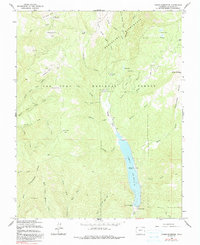
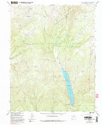
1964 Map of Lemon Reservoir
USGS Topo · Published 1991About this map
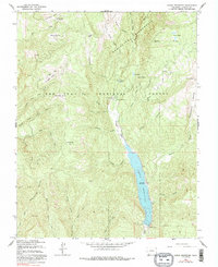
Lemon Reservoir dominates this high-altitude landscape within the San Juan National Forest, capturing the waters of the Florida River. Established as a primary water storage facility, the reservoir is anchored by the Lemon Dam at its southern end, providing a focal point for the region's recreational and hydrological systems. The terrain is defined by the prominent Missionary Ridge to the west and the expansive Weminuche Wilderness to the north, characterized by a complex network of canyons and gulches like McCoy Gulch and Stump Canyon. This 1964 survey captures the area's infrastructure for mountain access, including the Bear Creek Campground and Transfer Park Campground. The map also reveals older topographic naming conventions such as Horse Thief Park and Kroeger Park, alongside smaller alpine features like Mcclure Reservoir and the Stump Lakes.
Find a feature on this map
46 named features on this map. Tap any name to fly to it.
Don’t see what you’re looking for? This feature index may not catch every label — zoom into the map to look around manually.
Map Details
Editions of this 1964 Lemon Reservoir Map
6 editions found
Other maps of this area

1898 · Durango
USGS Topo · 1:62,500

1898 · Engineer Mountain
USGS Topo · 1:62,500

1900 · Engineer Mountain
USGS Topo · 1:62,500

1900 · Needle Mountains
USGS Topo · 1:62,500

1902 · Needle Mountains
USGS Topo · 1:62,500

1907 · Durango
USGS Topo · 1:62,500

1908 · Engineer Mountain
USGS Topo · 1:62,500

1908 · Ignacio
USGS Topo · 1:125,000

1908 · Durango
USGS Topo · 1:62,500

1924 · Ignacio
USGS Topo · 1:125,000