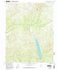
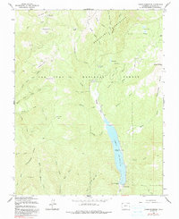
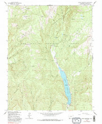
1964 Map of Lemon Reservoir
USGS Topo · Published 1991About this map
Lemon Reservoir dominates the drainage of the Florida River in this 1964 survey, which highlights the infrastructure and wilderness management of the mid-century San Juan National Forest. The map documents the Lemon Dam and its associated spillway, alongside a network of outdoor recreation sites including the Florida Campground, Lemon Dam Campground, and Transfer Park Campground.
Find a feature on this map
51 named features on this map. Tap any name to fly to it.
Don’t see what you’re looking for? This feature index may not catch every label — zoom into the map to look around manually.
Map Details
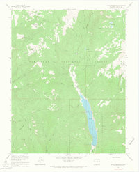
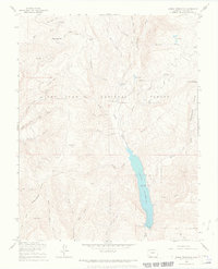
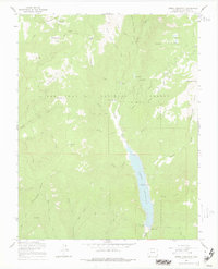
Editions of this 1964 Lemon Reservoir Map
6 editions found
Other maps of this area

1898 · Durango
USGS Topo · 1:62,500

1898 · Engineer Mountain
USGS Topo · 1:62,500

1900 · Engineer Mountain
USGS Topo · 1:62,500

1900 · Needle Mountains
USGS Topo · 1:62,500

1902 · Needle Mountains
USGS Topo · 1:62,500

1907 · Durango
USGS Topo · 1:62,500

1908 · Engineer Mountain
USGS Topo · 1:62,500

1908 · Ignacio
USGS Topo · 1:125,000

1908 · Durango
USGS Topo · 1:62,500

1924 · Ignacio
USGS Topo · 1:125,000