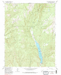
1964 Map of Lemon Reservoir
USGS Topo · Published 1991About this map
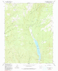
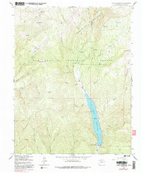
Lemon Reservoir dominates the eastern drainage of Missionary Ridge, serving as a central catchment for the Florida River and its numerous high-altitude tributaries. Photogrammetric methods from the 1950s and early 1960s captured this landscape of the San Juan National Forest as it was being formally organized for recreation and water management. The map details the construction of the Lemon Dam and the establishment of several forest service sites, including Lemon Dam Campground and Florida Campground. To the north, the terrain transitions into the protected Weminuche Wilderness, where landmarks like Stump Lakes and Lost Lake mark the high basins. The drainage patterns of Coon Creek and Shearer Creek illustrate the complex watershed that defines this section of La Plata County.
Find a feature on this map
49 named features on this map. Tap any name to fly to it.
Don’t see what you’re looking for? This feature index may not catch every label — zoom into the map to look around manually.
Map Details
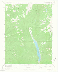
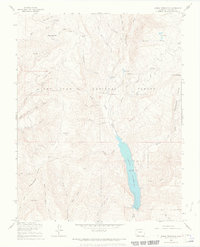
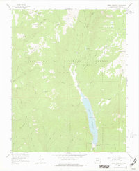
Editions of this 1964 Lemon Reservoir Map
6 editions found
Other maps of this area

1898 · Durango
USGS Topo · 1:62,500

1898 · Engineer Mountain
USGS Topo · 1:62,500

1900 · Engineer Mountain
USGS Topo · 1:62,500

1900 · Needle Mountains
USGS Topo · 1:62,500

1902 · Needle Mountains
USGS Topo · 1:62,500

1907 · Durango
USGS Topo · 1:62,500

1908 · Engineer Mountain
USGS Topo · 1:62,500

1908 · Ignacio
USGS Topo · 1:125,000

1908 · Durango
USGS Topo · 1:62,500

1924 · Ignacio
USGS Topo · 1:125,000