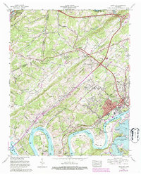
1968 Map of Lenoir City
USGS Topo · Published 1987About this map
Lenoir City serves as the industrial and social hub of this landscape, situated at the confluence of the Tennessee River and the Little Tennessee River. By the late 1960s, the region's character was heavily defined by the massive hydroelectric projects of the Tennessee Valley Authority, notably the presence of Tellico Dam and the impounded waters of Watts Bar Lake, Melton Hill Lake, and Tellico Lake. These reservoirs reshaped the environment around ancient landmarks like Bussell Island and Browder Island.
Find a feature on this map
76 named features on this map. Tap any name to fly to it.
Don’t see what you’re looking for? This feature index may not catch every label — zoom into the map to look around manually.
Map Details
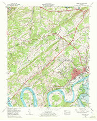
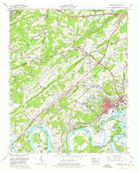
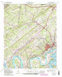
Editions of this 1968 Lenoir City Map
4 editions found
Other maps of this area

1895 · Loudon
USGS Topo · 1:125,000

1935 · Meadow
USGS Topo · 1:24,000

1935 · Lenoir City
USGS Topo · 1:24,000

1935 · Elverton
USGS Topo · 1:24,000

1935 · Bethel Valley
USGS Topo · 1:24,000

1935 · Philadelphia
USGS Topo · 1:24,000

1935 · Lovell
USGS Topo · 1:24,000

1936 · Cave Creek
USGS Topo · 1:24,000

1936 · Friendship
USGS Topo · 1:48,000

1936 · Loudon
USGS Topo · 1:24,000