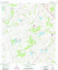
1961 Map of Lenz
USGS Topo · Published 1987About this map
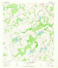
The small settlement of Lenz and the southern outskirts of Karnes City anchor this South Texas landscape during a period of transition. The terrain is defined by a dense network of drainage systems, including the winding Escondido Creek and San Cristoval Creek, which are interrupted by numerous small dams and spillways. These modifications to the local hydrology reflect mid-century efforts to manage water in the Brush Country.
Find a feature on this map
15 named features on this map. Tap any name to fly to it.
Don’t see what you’re looking for? This feature index may not catch every label — zoom into the map to look around manually.
Map Details
Editions of this 1961 Lenz Map
2 editions found
Other maps of this area

1925 · Tordia No. 1
USGS Topo · 1:48,000

1931 · Falls City
USGS Topo · 1:62,500

1936 · Pettus
USGS Topo · 1:62,500

1953 · Crystal City
USGS Topo · 1:250,000

1953 · Beeville
USGS Topo · 1:250,000

1955 · Crystal City
USGS Topo · 1:250,000

1956 · Suniland
USGS Topo · 1:62,500

1956 · Beeville
USGS Topo · 1:250,000

1956 · Pettus
USGS Topo · 1:62,500

1956 · Karnes City
USGS Topo · 1:62,500