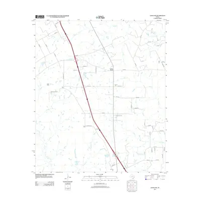
2013 Map of Leona SW
USGS Topo · Published 2013About this map
Cross Roads and the surrounding ranching country of Madison County are documented here in detail, showing a landscape defined by cattle operations and oil extraction. The Seven J Ranch occupies a significant portion of the central terrain, while the OSR Oil Field in the northeast corner highlights the local energy industry. The transportation network is anchored by the Osr HWY, reflecting the historic Old San Antonio Road route through this part of Texas.
Find a feature on this map
68 named features on this map. Tap any name to fly to it.
Don’t see what you’re looking for? This feature index may not catch every label — zoom into the map to look around manually.
Map Details
Editions of this 2013 Leona SW Map
This is the sole edition of this map. No revisions or reprints were ever made.
Other maps of this area

1931 · Iola
USGS Topo · 1:62,500

1953 · Palestine
USGS Topo · 1:250,000

1954 · Waco
USGS Topo · 1:250,000

1954 · Beaumont
USGS Topo · 1:250,000

1954 · Austin
USGS Topo · 1:250,000

1955 · Waco
USGS Topo · 1:250,000

1957 · Beaumont
USGS Topo · 1:250,000

1957 · Palestine
USGS Topo · 1:250,000

1962 · Connor
USGS Topo · 1:24,000

1963 · Madisonville
USGS Topo · 1:24,000