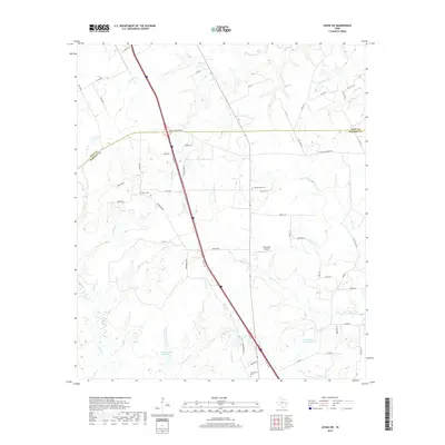
2019 Map of Leona SW
USGS Topo · Published 2019About this map
The Leon Co Madison Co border defines the northern portion of this landscape, where the historic route of the Old San Antonio Rd crosses the modern corridor of Interstate 45. This rural expanse is characterized by a dense network of creek branches, including Twomile Cr and Greenbriar Cr, which feed into local impoundments such as Walker Lake Number 1 and Fisherman Paradise Lake. The map reveals a high concentration of small, family-named landmarks and rural cemeteries like Greer Cem and Mount Tabor Cem, indicating long-established property lines and family legacies in this part of East Texas. Private infrastructure like the Hensarling Airport and numerous ranch roads illustrate the transition from traditional agriculture to contemporary land use at the end of the second decade of the 21st century.
Find a feature on this map
62 named features on this map. Tap any name to fly to it.
Don’t see what you’re looking for? This feature index may not catch every label — zoom into the map to look around manually.
Map Details
Editions of this 2019 Leona SW Map
This is the sole edition of this map. No revisions or reprints were ever made.
Other maps of this area

1931 · Iola
USGS Topo · 1:62,500

1953 · Palestine
USGS Topo · 1:250,000

1954 · Waco
USGS Topo · 1:250,000

1954 · Beaumont
USGS Topo · 1:250,000

1954 · Austin
USGS Topo · 1:250,000

1955 · Waco
USGS Topo · 1:250,000

1957 · Beaumont
USGS Topo · 1:250,000

1957 · Palestine
USGS Topo · 1:250,000

1962 · Connor
USGS Topo · 1:24,000

1963 · Madisonville
USGS Topo · 1:24,000