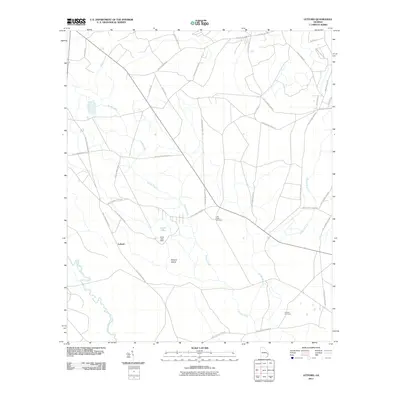
2011 Map of Letford
USGS Topo · Published 2011About this map
Savage Creek and the Canoochee River define the low-lying drainage patterns of this coastal plain landscape. The small settlement of Letford sits at a junction of rural routes, surrounded by a complex network of military-designated roads serving the adjacent Fort Stewart training grounds. Significant local landmarks include Hilliard Island and Jones Lake, which is contained by the Jones Lake Dam. The presence of Little Creek Cemetery and Corinth Cemetery provides vital points of interest for genealogists tracing families in this part of Georgia. Road names like Beulah Church Rd, Mannie English Rd, and Mack English Rd reflect the deep-rooted local history and family landholdings that have persisted alongside the evolution of the nearby military installation.
Find a feature on this map
35 named features on this map. Tap any name to fly to it.
Don’t see what you’re looking for? This feature index may not catch every label — zoom into the map to look around manually.
Map Details
Editions of this 2011 Letford Map
This is the sole edition of this map. No revisions or reprints were ever made.
Other maps of this area

1918 · Hinesville
USGS Topo · 1:62,500

1920 · Pembroke
USGS Topo · 1:62,500

1920 · Meldrim
USGS Topo · 1:62,500

1920 · Limerick
USGS Topo · 1:62,500

1942 · Meldrim
USGS Topo · 1:62,500

1944 · Hinesville
USGS Topo · 1:62,500

1944 · Limerick
USGS Topo · 1:62,500

1946 · Brunswick
USGS Topo · 1:250,000

1947 · Savannah
USGS Topo · 1:250,000

1948 · Brunswick
USGS Topo · 1:250,000